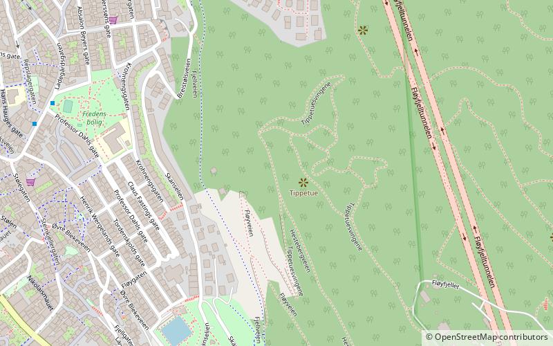
Fløyfjellet, Bergen
Map

Map

Facts and practical information
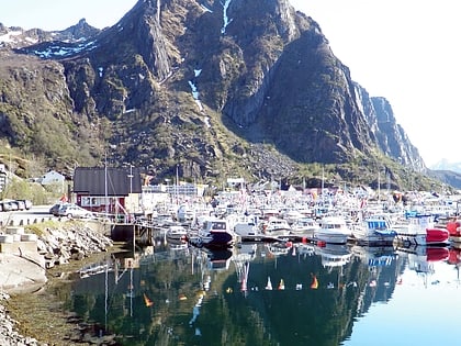
Fløya or Fløyfjellet is a mountain adjacent to the town of Svolvær in Vågan Municipality in Nordland county, Norway. The 590-metre tall mountain is located near the southeastern shore of the island of Austvågøya in the Lofoten archipelago. ()
Elevation: 1936 ftCoordinates: 60°24'0"N, 5°19'60"E
Address
BergenhusBergen
ContactAdd
Social media
Add
Day trips
Fløyfjellet – popular in the area (distance from the attraction)
Nearby attractions include: Bryggen, Fløyen, Bergenhus Fortress, St Mary's Church.
Frequently Asked Questions (FAQ)
Which popular attractions are close to Fløyfjellet?
Nearby attractions include Bergenhus, Bergen (1 min walk), Skansen Tunnel, Bergen (6 min walk), Seven Mountains, Bergen (7 min walk), Fløyfjell Tunnel, Bergen (7 min walk).
How to get to Fløyfjellet by public transport?
The nearest stations to Fløyfjellet:
Bus
Ferry
Train
Light rail
Tram
Bus
- Ladegårdsgaten • Lines: 10 (7 min walk)
- Helgesens gate • Lines: 10 (8 min walk)
Ferry
- Beffen - Bradbenken • Lines: Beffen (12 min walk)
- Strandkaiterminalen båtkai (13 min walk)
Train
- Fløibanen, øvre stasjon (13 min walk)
- Bergen (18 min walk)
Light rail
- Byparken • Lines: 1 (16 min walk)
- Nonneseter • Lines: 1 (18 min walk)
Tram
- Byparken • Lines: 1 (16 min walk)
- Nonneseter • Lines: 1 (18 min walk)


