Bat

Gallery (1)
Map
Map
Facts and practical information
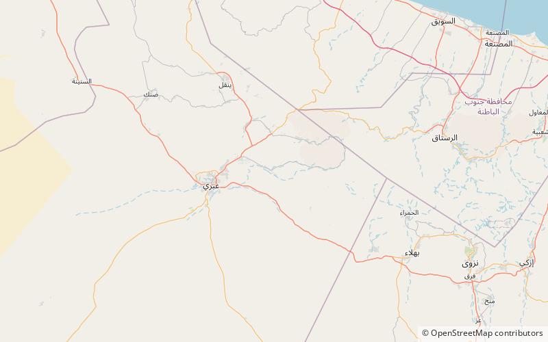
The Archaeological Sites of Bat, Al-Khutm and Al-Ayn are a group of necropoleis from the 3rd Millennium BC, located near a palm grove. They were declared World Heritage by UNESCO in 1988. ()
Local name: المواقع الأثرية في بات والخطم والعين Unesco: from 1988Coordinates: 23°16'11"N, 56°44'41"E
Location
Al Dhahira
ContactAdd
Social media
Add