Ghul

Map
Facts and practical information
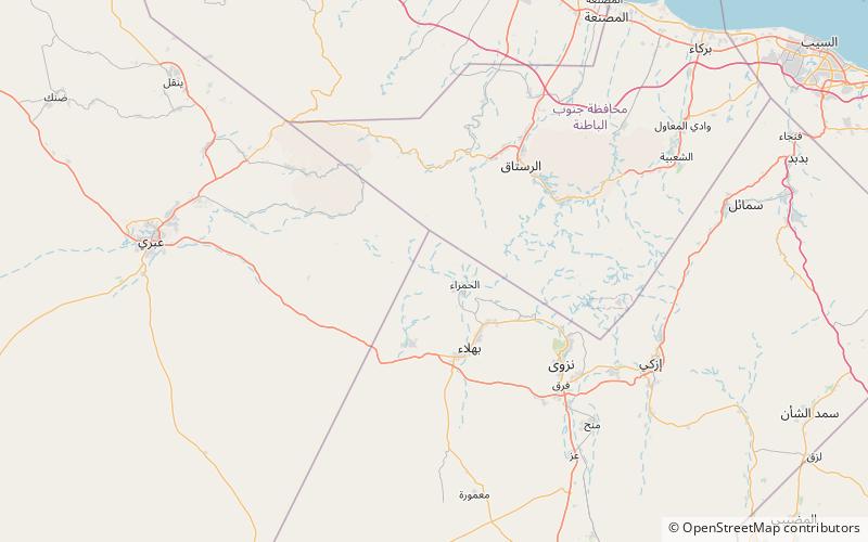
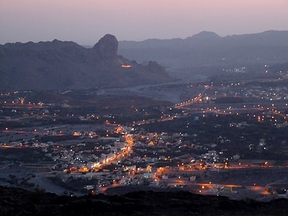
Ghul or Wadi Ghul is an abandoned village, located to the northwest of Al Hamra in Oman. The area is referred to as the "Omani Grand Canyon" or "The Grand Canyon of Arabia". It is near Jebel Shams, the highest mountain peak in Oman. ()
Coordinates: 23°8'56"N, 57°12'32"E
Location
Ad Dakhliyah
ContactAdd
Social media
Add
Day trips
Ghul – popular in the area (distance from the attraction)
Nearby attractions include: Jebel Akhdar, Hajar Mountains, Al Hamra.


