Malika Parbat

Gallery (3)
Map
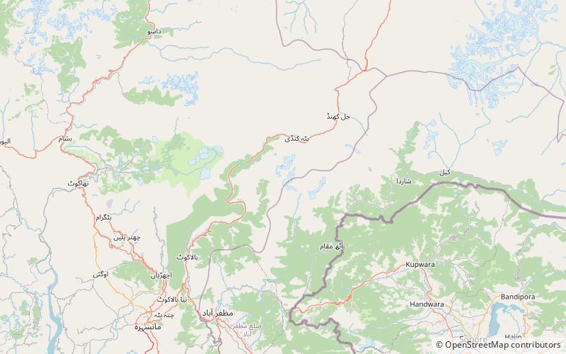
Map
Gallery
Facts and practical information
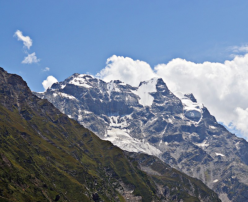
Malika Parbat is the highest peak in Kaghan Valley, Khyber Pakhtunkhwa, Pakistan. It is about 6 kilometres south of Lake Saiful Muluk, near Ansoo Lake. ()
Local name: ملکہ پربتFirst ascent: 1920Elevation: 17356 ftCoordinates: 34°48'21"N, 73°43'27"E
Location
N.W.F.P.
ContactAdd
Social media
Add
Day trips


