Handyside Fort, Kohat

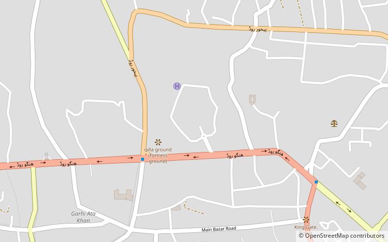
Map
Facts and practical information
Handyside Fort is a historical fort located in Kohat, Khyber Pakhtunkhwa, which dates from the era of British colonial rule. ()
Local name: ہینڈی سائیڈ فورٹCoordinates: 33°35'28"N, 71°26'15"E
Address
Kohat
ContactAdd
Social media
Add
Day trips
Handyside Fort – popular in the area (distance from the attraction)
Nearby attractions include: Tanda Dam, Cadet College Kohat.

