Fairy Meadows National Park
Map
Gallery

Facts and practical information
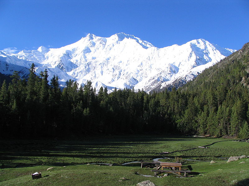
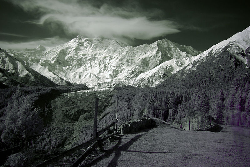
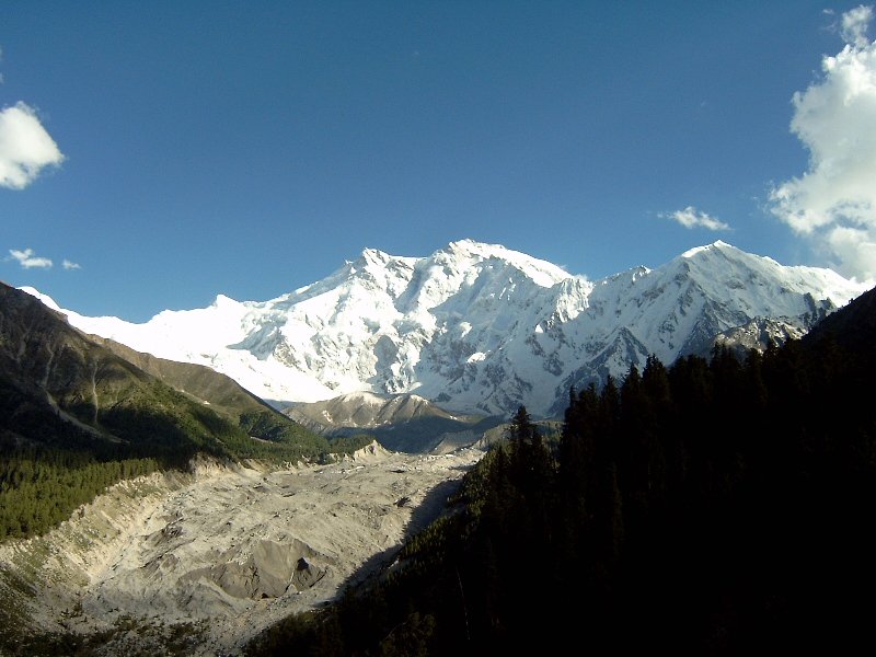
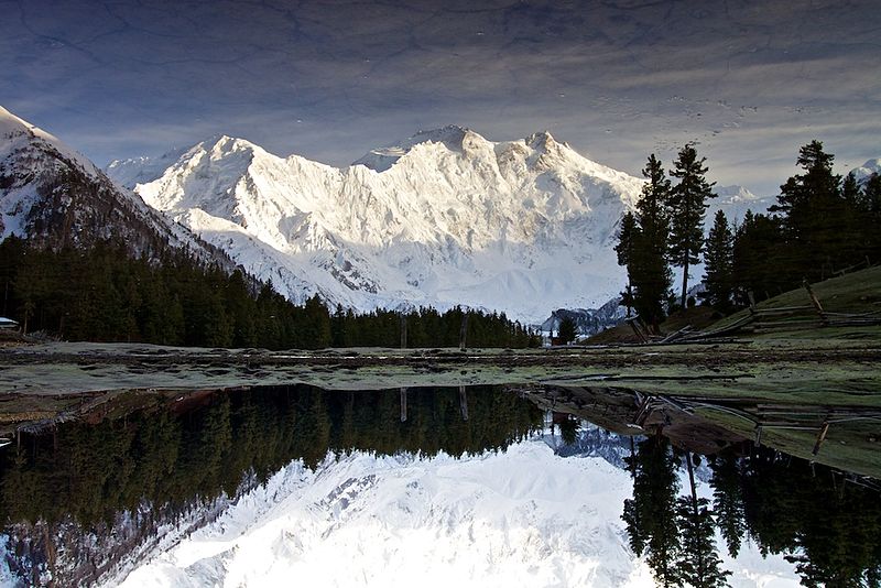
Fairy Meadows, named by German climbers and locally known as Joot, is a grassland near one of the base camp sites of the Nanga Parbat, located in Diamer District, Gilgit-Baltistan, Pakistan. At an altitude of about 3,300 metres above sea level, it serves as the launching point for trekkers summiting on the Rakhiot face of the Nanga Parbat. In 1995, the Government of Pakistan declared Fairy Meadows a National Park. ()
Location
Northern Areas
ContactAdd
Social media
Add
Day trips
Fairy Meadows National Park – popular in the area (distance from the attraction)
Nearby attractions include: Chongra Peak.


