Rupal Valley

Gallery (1)
Map
Map
Facts and practical information
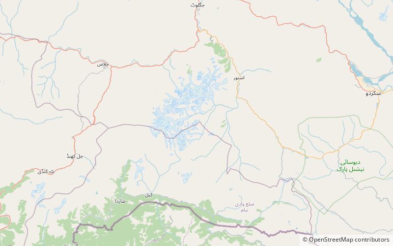
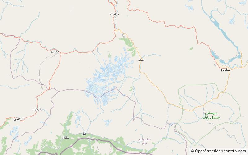
The Rupal Valley is a valley located in the Astore District of Gilgit-Baltistan, Pakistan. It is on the southern side of Nanga Parbat, and is accessed via the Astore Valley, which leaves the Karakoram Highway at Juglot, some 60 kilometres south of Gilgit. ()
Coordinates: 35°13'39"N, 74°42'27"E
Location
Northern Areas
ContactAdd
Social media
Add
Day trips