Kalibari Mandir, Peshawar
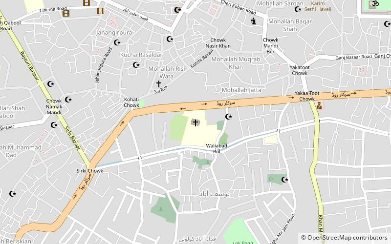
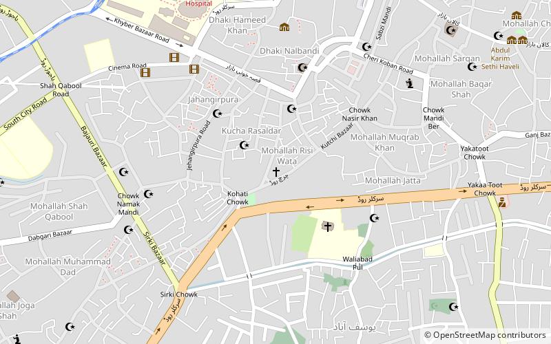
Map
Facts and practical information
Kalibari Mandir is a Hindu temple located in Peshawar in Khyber Pakhtunkhwa Pakistan. This temple is dedicated to goddess Kali and Durga Puja is the main festival. ()
Local name: کالی باڑی مندر، پشاورCoordinates: 34°1'0"N, 71°34'60"E
Getting there by public transportation
Public transportation stops near this location
- Bus
- Train
 Bus
Bus
- Calculate routeHashtnagri Station 4 min walk
- Calculate routeGulbahar Chowk Station 13 min walk
- Calculate routeMalik Saad Shaheed Station 14 min walk
- Calculate routeDilawar khan travels 17 min walk
- Calculate routePeshawar City 6 min walk
Day trips


Frequently Asked Questions (FAQ)
Which popular attractions are close to Kalibari Mandir?
Nearby attractions include Mahabat Khan Mosque, Peshawar (1 min walk), Dargah Pir Ratan Nath Jee, Peshawar (1 min walk), Goraknath Temple, Peshawar (1 min walk), Government College Peshawar, Peshawar (10 min walk).
How to get to Kalibari Mandir by public transport?
The nearest stations to Kalibari Mandir:
Bus
Train
Bus
- Hashtnagri Station (4 min walk)
- Gulbahar Chowk Station (13 min walk)
Train
- Peshawar City (6 min walk)