Chogolisa
Map

Map

Facts and practical information
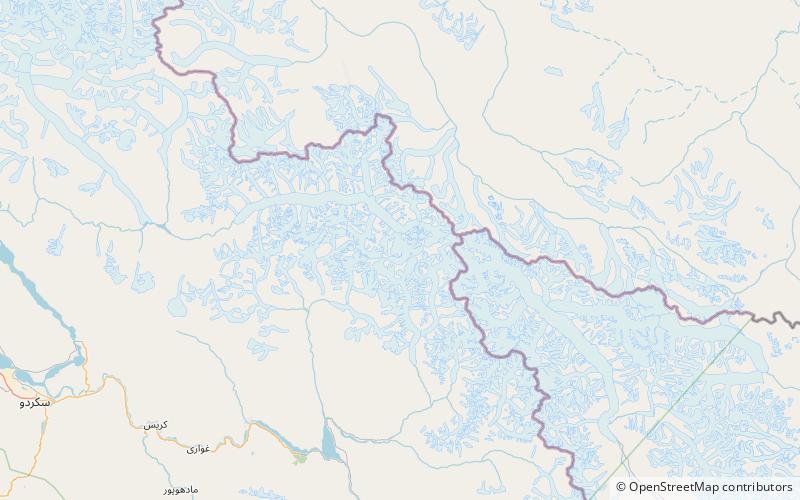
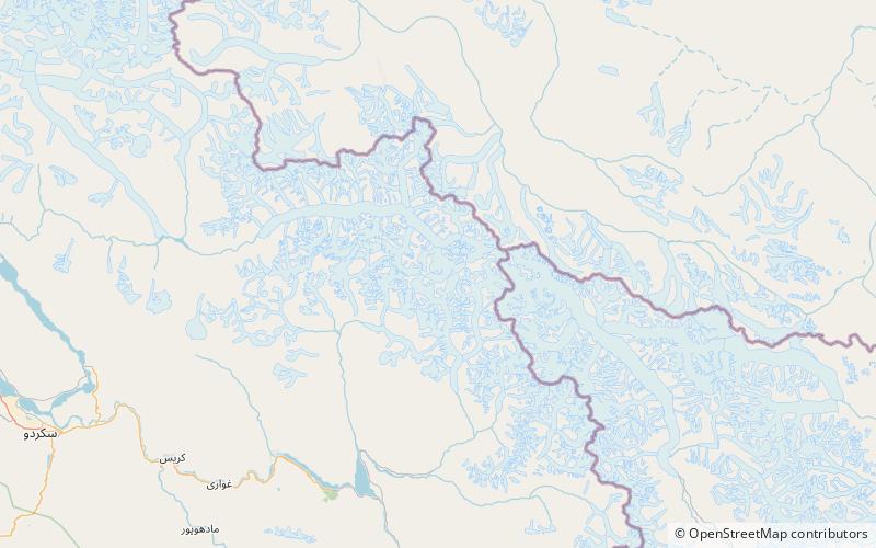
Chogolisa is a trapezoidal mountain in the Karakoram range in the Gilgit-Baltistan region of Pakistan. It lies near the Baltoro Glacier in the Concordia region, which is home to some of the highest peaks in the world. Chogolisa has several peaks: the highest, on the southwest face, rises to 7,668 metres; the second-highest at 7,654 metres on the northeast side was named Bride Peak by Martin Conway in 1892. ()
Local name: چھوغو لیسا First ascent: 1975Elevation: 25157 ftProminence: 5328 ftCoordinates: 35°37'35"N, 76°36'40"E
Location
Northern Areas
ContactAdd
Social media
Add
Day trips
Chogolisa – popular in the area (distance from the attraction)
Nearby attractions include: Baltoro Kangri, Snow Dome.


