Wagh
Map

Gallery

Facts and practical information
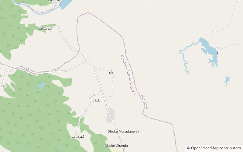
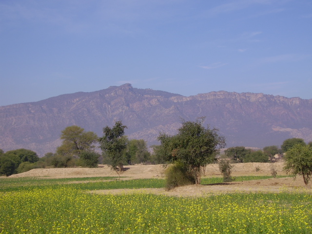
Wagh is an ancient village located about 10 kilometers towards north of the camp of Alexander the Great on the bank of Jhelum River near Jalalpur Sharif, in Tehsil Pind Dadan Khan of District Jhelum in Pakistan. It is situated in a valley surrounded by foothills of Salt Range from northern, eastern and southern sides and a rain dependent river Nala Banha towards its west, nearly 45 kilometres towards East of Khewra Salt Mines and falls within the jurisdiction of the police station and Union Council at Jalalpur Sharif. Wagh is the largest village in Chamkon Valley. CHAMKOWN stands for Chanadh, Muradanwali, Khairr, Wagh and Nagial. ()
Local name: وگھCoordinates: 32°43'60"N, 73°24'0"E
Location
Punjab
ContactAdd
Social media
Add
