Fort Road, Lahore
Map

Map

Facts and practical information
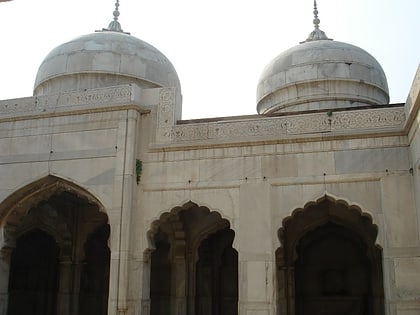
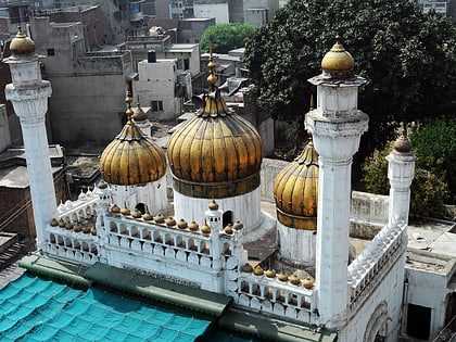
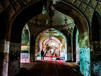
Fort Road, Lahore is a road in the Old Walled City of Lahore, Pakistan. It is one of Lahore's most famous and historically significant roads. It is so named because it flanks the Lahore Fort on its southern and eastern sides. ()
Local name: فورٹ روڈ، لاہورLength: 4593 ftCoordinates: 31°35'14"N, 74°18'42"E
Address
Lahore
ContactAdd
Social media
Add
Day trips
Fort Road – popular in the area (distance from the attraction)
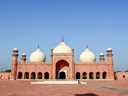
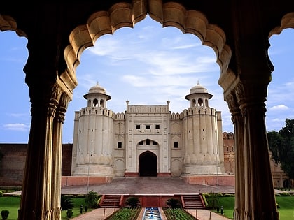
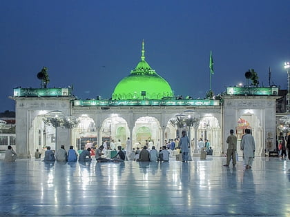
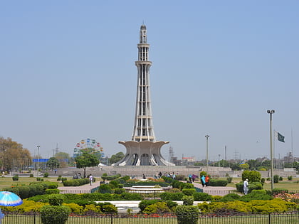
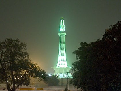
Nearby attractions include: Badshahi Mosque, Lahore Fort, Data Darbar, Minar-e-Pakistan.
Frequently Asked Questions (FAQ)
Which popular attractions are close to Fort Road?
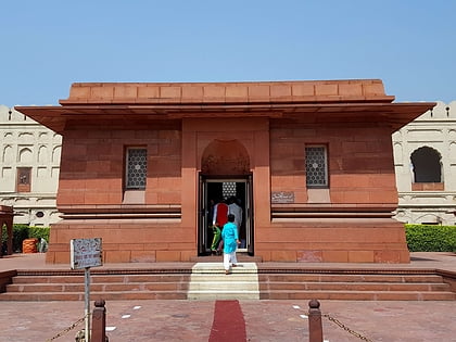
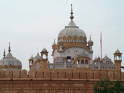
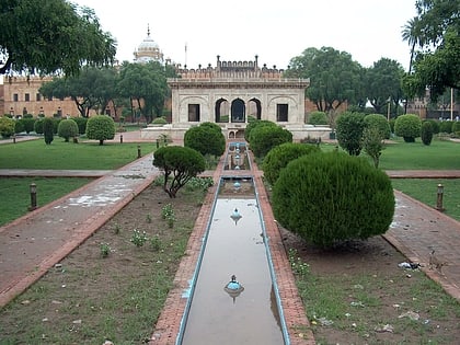
Nearby attractions include Tomb of Allama Iqbal, Lahore (2 min walk), Hazuri Bagh, Lahore (3 min walk), Lahore Fort, Lahore (3 min walk), Badshahi Mosque, Lahore (4 min walk).
How to get to Fort Road by public transport?
The nearest stations to Fort Road:
Bus
Train
Bus
- Azadi Chowk Metrobus (10 min walk)
- Badami Bagh Bus Stand (14 min walk)
Train
- Badami Bagh (18 min walk)

