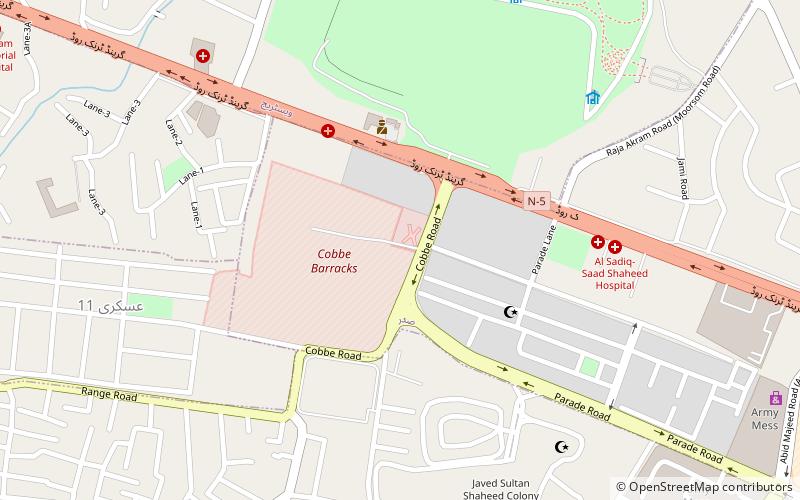
Fareed Town Islamabad, Rawalpindi
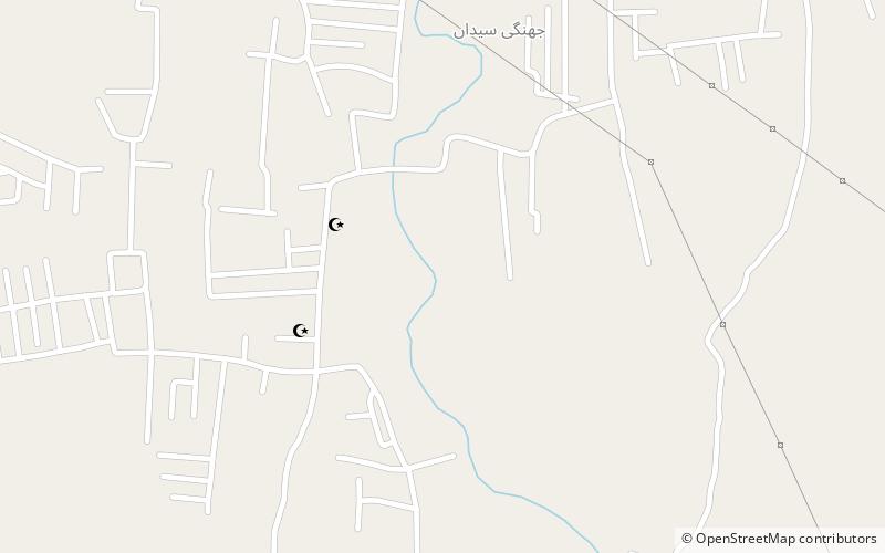
Map
Facts and practical information
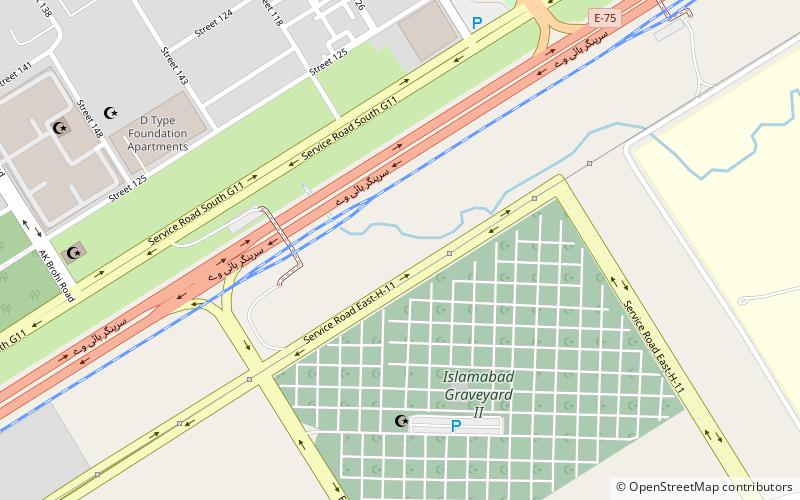
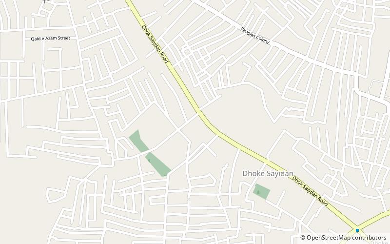
Fareed Town is a new town in the H-15 Sector of Islamabad. The H sectors of Islamabad are mostly dedicated to educational and health institutions. National University of Sciences and Technology covers a major portion of sector H-12. ()
Area: 9.65 mi²Coordinates: 33°36'59"N, 72°56'22"E
Address
Rawalpindi
ContactAdd
Social media
Add
Day trips
Fareed Town Islamabad – popular in the area (distance from the attraction)
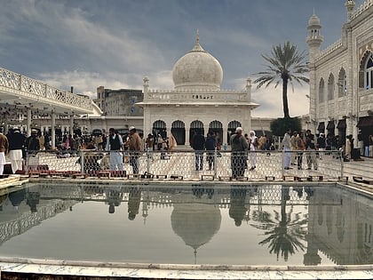
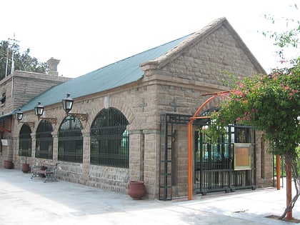
Nearby attractions include: Golra Sharif, Golra Sharif Railway Museum, Salman bin Abdulaziz Mosque, Golra Sharif.
Frequently Asked Questions (FAQ)
How to get to Fareed Town Islamabad by public transport?
The nearest stations to Fareed Town Islamabad:
Bus
Bus
- Faisal Mover (22 min walk)
- Daewoo Express Terminal (25 min walk)
