Istor-o-Nal

Map
Facts and practical information
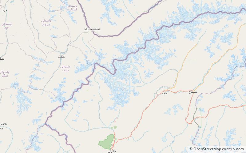
Istor-o-Nal is the third highest mountain in the Hindu Kush, in the Chitral District of the North-West Frontier Province of Pakistan. It is the 68th highest independent peak in the world. It crowns a massif with eleven peaks of elevation more than 7,000 m. The peak is located a few kilometres northeast of Tirich Mir, across the Tirich Glacier. Because Istor-o-Nal is behind the higher peak of Tirich Mir from many viewpoints, it is not easily visible and therefore not well known. ()
Local name: استور و نل First ascent: 1955Elevation: 24288 ftProminence: 3363 ftCoordinates: 36°23'13"N, 71°53'21"E
Location
N.W.F.P.
ContactAdd
Social media
Add
Day trips
Istor-o-Nal – popular in the area (distance from the attraction)
Nearby attractions include: Noshaq.
