Kala Chitta Range
Map

Map

Facts and practical information
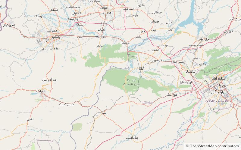
Kala Chitta Range is a mountain range in the Attock District of Punjab, Pakistan. Kala- Chitta are Punjabi words meaning Kala the Black and Chitta means the white. The range thrusts eastward across the Potohar plateau towards Rawalpindi. ()
Local name: سلسلہ کوہ کالا چٹاMaximum elevation: 2759 ftCoordinates: 33°43'0"N, 72°10'0"E
Location
Punjab
ContactAdd
Social media
Add
