Nandana

Gallery (2)
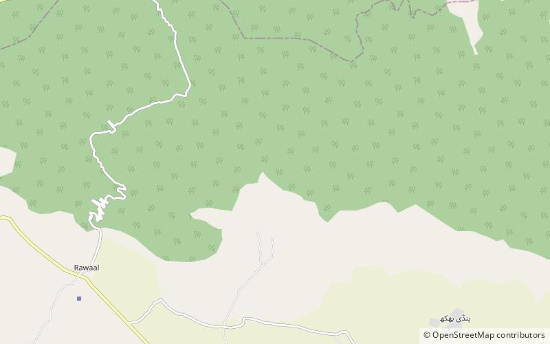
Map
Map
Gallery
Facts and practical information
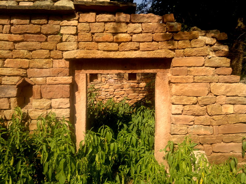
Nandana or Nandna was a fort built at strategic location on a hilly range on the eastern flanks of the Salt Range in Punjab Pakistan. Its ruins, including those of a town and a temple, are present. It was ruled by the Hindu Shahi kings until, in the early 11th century, Mahmud of Ghazni expelled them from Nandana. Al-Biruni carried out his measurements of the circumference of the Earth here. ()
Local name: قلعہ نندنہCoordinates: 32°43'41"N, 73°14'9"E
Location
Punjab
ContactAdd
Social media
Add