Ranigat
Map
Gallery

Facts and practical information
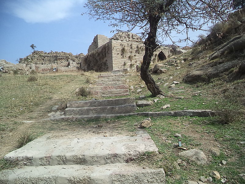
Ranigat is a collection of 2nd century CE Buddhist ruins spread over an area of 4 square kilometers which dates from the Gandhara civilization. Ranigat is located in valley Buner of Pakistan's Khyber Pakhtunkhwa province. ()
Local name: رانی گٹAbandoned: VI centuryCoordinates: 34°13'50"N, 72°26'56"E
Location
N.W.F.P.
ContactAdd
Social media
Add


