Buni Zom
Map

Map

Facts and practical information
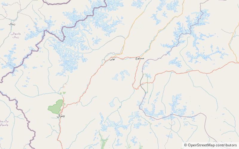
The Buni Zom group is a prominent mountain area of Chitral, in the Hindu Raj range of Pakistan. Buni Zom is the highest peak of the group with an elevation of 6,542 m. It is located about 50 km northeast of the town of Chitral, and about 50 km east of Tirich Mir, the highest peak in the Hindu Kush. ()
Local name: بونی زوم First ascent: 1957Elevation: 21463 ftProminence: 9334 ftCoordinates: 36°9'15"N, 72°19'39"E
Location
N.W.F.P.
ContactAdd
Social media
Add
