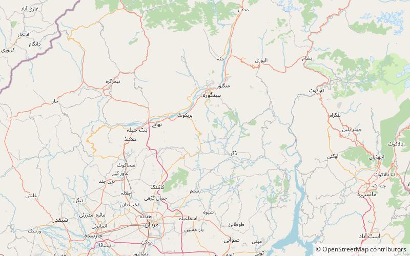
Elum Ghar, Swat
Map

Map

Facts and practical information
Elum Ghar, also known as Mount Ilam is a 2,800 metres mountain located between the Swat and Buner districts of Pakistan. Elum Ghar is the highest peak in the region, and is snow-covered most of the year. It is located west of Pir Baba's shrine in the Buner District of the Khyber Pakhtunkhwa of Pakistan. The mountain was a significant pilgrimage site for Hindus until 1947, and is believed to be the site where a previous incarnation of the Buddha gave up his life. ()
Coordinates: 34°37'11"N, 72°19'52"E
Address
Swat
ContactAdd
Social media
Add
