Madrasi Para, Karachi
Map

Map

Facts and practical information
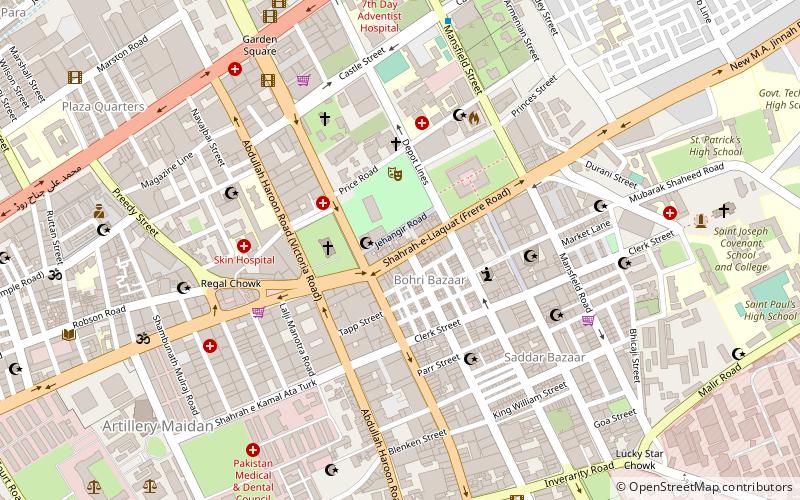
Madrasi Para is a neighborhood in the Karachi Cantonment area of Karachi, Sindh, Pakistan. This neighborhood is located close to the Jinnah Post Graduate Medical Centre. The population of this neighborhood is mostly Tamil Hindus that migrated in early 20th century before the independence of Pakistan when Karachi was developed during the British Raj. The Maripata Temple was located in this neighborhood which was the biggest Tamil Hindu temple in Karachi before being demolished. ()
Coordinates: 24°51'40"N, 67°1'41"E
Address
صدر ٹاؤن (صدر)Karachi
ContactAdd
Social media
Add
Day trips
Madrasi Para – popular in the area (distance from the attraction)
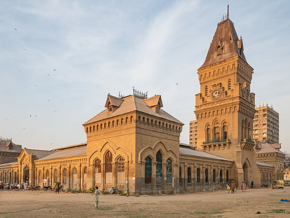
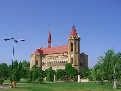
Nearby attractions include: Empress Market, Frere Hall, Holy Trinity Cathedral, Saint Patrick's Cathedral.
Frequently Asked Questions (FAQ)
Which popular attractions are close to Madrasi Para?
Nearby attractions include St. Andrew's Church, Karachi (3 min walk), Empress Market, Karachi (4 min walk), Karachi South District, Karachi (4 min walk), Saint Patrick's Cathedral, Karachi (10 min walk).
How to get to Madrasi Para by public transport?
The nearest stations to Madrasi Para:
Bus
Bus
- Daewoo City Terminal Pickup Point (16 min walk)
- KGA Ground BRT Station (19 min walk)


