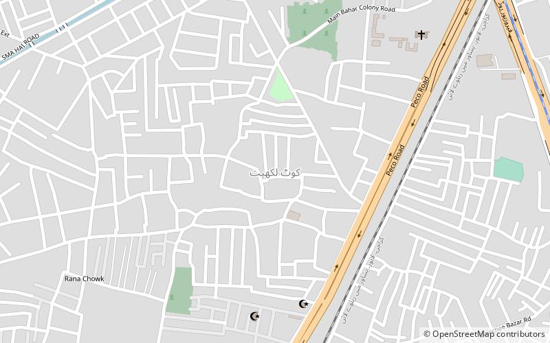
Kot Lakhpat, Lahore
Map
Facts and practical information
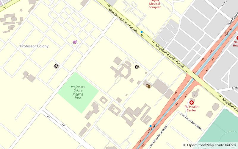
Kotla Lakhpat is a neighbourhood and union council of Gulberg Tehsil in Lahore, Punjab, Pakistan. The neighbourhood is both a residential and industrial area. It is located at 31° 27' 57N 74° 20' 14E. Kot Lakhpat is bordered by the Defence to the east and Township to the west. Kot Lakhpat railway station, Lahore Race Club, Quaid-e-Azam Industrial Estate and Central Jail Lahore are situated in this neighbourhood. ()
Coordinates: 31°27'59"N, 74°20'18"E
Address
Lahore
ContactAdd
Social media
Add
Getting there by public transportation
Public transportation stops near this location
- Bus
- Train
 Bus
Bus
- Calculate routeKot Lakhpat 12 min walk
- Calculate routeQainchi Metrobus 16 min walk
- Calculate routeIttefaq Hospital Metrobus 24 min walk
- Calculate routeGhazi Chowk Metrobus 26 min walk
- Calculate routeChungi Amar Sidhu Metrobus 36 min walk
Day trips


Frequently Asked Questions (FAQ)
How to get to Kot Lakhpat by public transport?
The nearest stations to Kot Lakhpat:
Train
Bus
Train
- Kot Lakhpat (12 min walk)
Bus
- Qainchi Metrobus (16 min walk)
- Ittefaq Hospital Metrobus (24 min walk)