Saidu Sharif Stupa, Swat
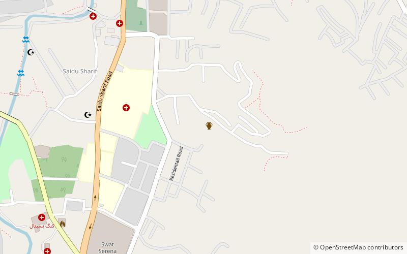
Map

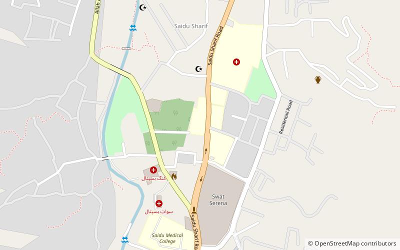
Map

Facts and practical information
The Saidu Sharif Stupa, excavated under the name Saidu Sharif I, is a sacred area of Buddhist located near the city of Saidu Sharif, at the foot of the mountains that separate the river valley Saidu from that of the river Jambil, in the Swat District of Khyber Pakhtunkhwa, Pakistan. The sacred area consists of two terraces built on the slope of the hill, through a cut in the rock on the north side. Artificial terracing includes one stūpa, surrounded by smaller monuments, and a monastery. ()
Coordinates: 34°45'25"N, 72°21'44"E
Address
Swat
ContactAdd
Social media
Add
Day trips
Saidu Sharif Stupa – popular in the area (distance from the attraction)
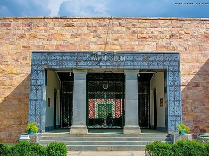
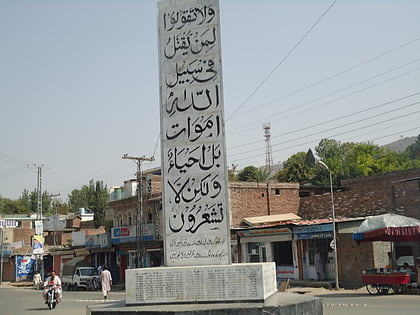
Nearby attractions include: Swat Museum, Saidu Sharif, Butkara Stupa, Government Post Graduate Jahanzeb College.
Frequently Asked Questions (FAQ)
Which popular attractions are close to Saidu Sharif Stupa?
Nearby attractions include Government Post Graduate Jahanzeb College, Swat (8 min walk), Swat Museum, Swat (13 min walk), Saidu Sharif, Swat (16 min walk), Butkara Stupa, Swat (18 min walk).


