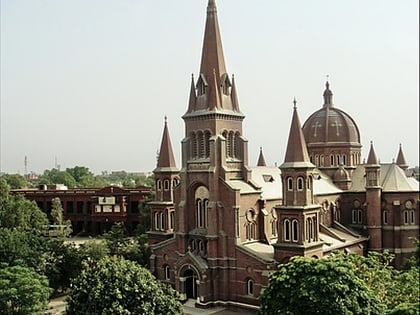
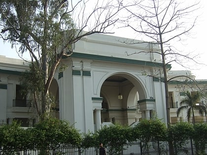
Hindu, Lahore
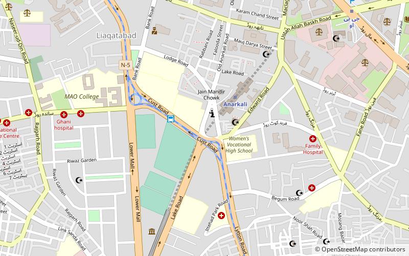
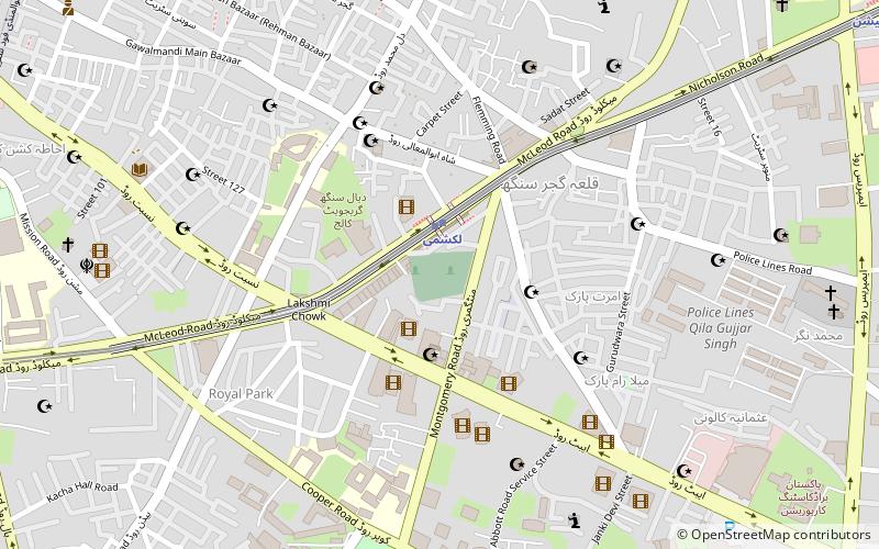
Map
Facts and practical information
The Hindu and Buddhist architectural heritage of Pakistan is part of a long history of settlement and civilization in Pakistan. The Indus Valley civilization collapsed in the middle of the second millennium BCE and was followed by the Vedic Civilisation, which extended over much of northern India and Pakistan. ()
Coordinates: 31°33'41"N, 74°18'29"E
Address
Lahore
ContactAdd
Social media
Add
Day trips
Hindu – popular in the area (distance from the attraction)
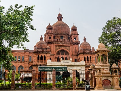
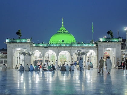
Nearby attractions include: Lahore Zoo, Lahore Museum, Data Darbar, Anarkali Bazaar.
Frequently Asked Questions (FAQ)
Which popular attractions are close to Hindu?
Nearby attractions include PIA Planetarium, Lahore (8 min walk), Punjab Public Library, Lahore (11 min walk), General Post Office, Lahore (11 min walk), Lahore Museum, Lahore (12 min walk).
How to get to Hindu by public transport?
The nearest stations to Hindu:
Bus
Metro
Bus
- MAO College Metrobus (3 min walk)
- Civil Secretariat Metrobus (15 min walk)
Metro
- Anarkali • Lines: O (3 min walk)
- G.p.o • Lines: O (12 min walk)

