Metroville Colony, Karachi

Map
Facts and practical information
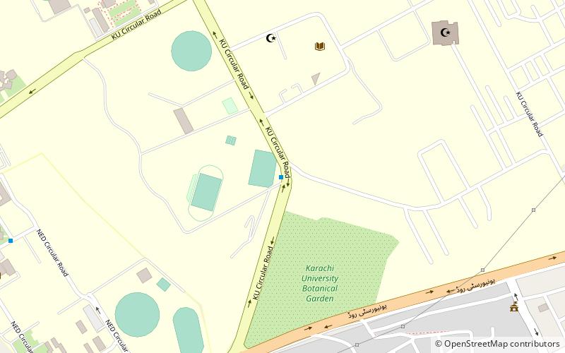
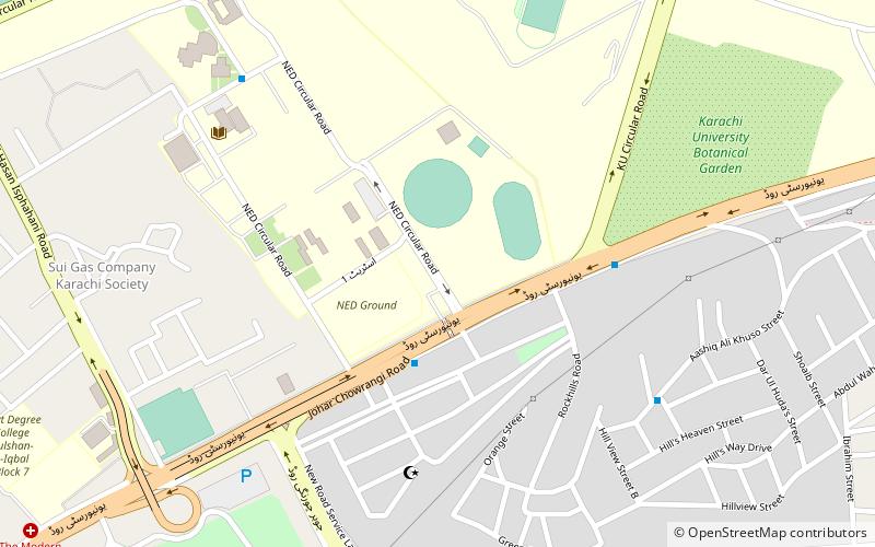
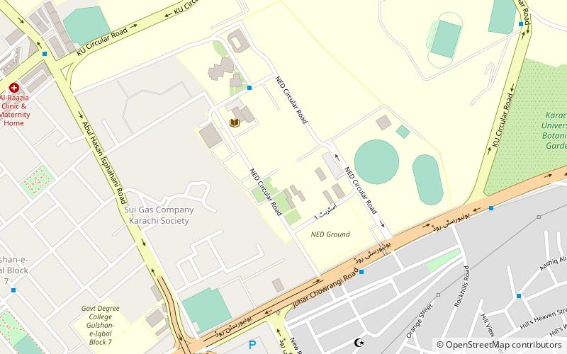
Metroville Colony is neighborhood in the Karachi East district of Karachi, Pakistan. It was previously administered as part of the Gulshan Town borough, which was disbanded in 2011. The largest part of the neighbourhood contains the main campuses of the University of Karachi, NED University of Engineering and Technology and Education Hub Collegiate. ()
Coordinates: 24°56'9"N, 67°7'11"E
Address
Karachi
ContactAdd
Social media
Add
Day trips
Metroville Colony – popular in the area (distance from the attraction)
Nearby attractions include: Safari Park, University of Karachi, Institute of Space and Planetary Astrophysics, KU Observatory.
Frequently Asked Questions (FAQ)
Which popular attractions are close to Metroville Colony?
Nearby attractions include University of Karachi, Karachi (5 min walk), Institute of Space and Planetary Astrophysics, Karachi (12 min walk), KU Observatory, Karachi (12 min walk), NED University of Engineering & Technology, Karachi (14 min walk).
How to get to Metroville Colony by public transport?
The nearest stations to Metroville Colony:
Bus
Bus
- University Shuttle Depot (11 min walk)


