Trek Zone

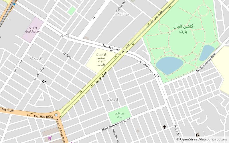
Allama Iqbal Town, Lahore

#111 among attractions in Lahore

Shopping
Allama Iqbal Town location map
Map

Facts and practical information

Coordinates: 31°30'40"N, 74°17'2"E
Address

Lahore Pakistan

ContactAdd
Social media
Add
Day trips

Allama Iqbal Town – popular in the area (distance from the attraction)

Nearby attractions include: Emporium Mall, Allama Iqbal Medical College, Grand Jamia Mosque, Shrine of Shah Jamal.

  • emporium mall lahore3.2 miS
  • allama iqbal medical college lahore location map
    2 miS
  • grand jamia mosque lahore3.5 miNE
  • shrine of shah jamal lahore2.9 miNE
  • gulshan e iqbal park lahore~1690 ftNE
  • miani sahib graveyard lahore location map
    2.9 miNE
  • shakir ali museum lahore location map
    2.8 miE
  • pia planetarium lahore location map
    3.5 miN
  • astronomical observatory of the university of the punjab lahore location map
    1.4 miE
  • kalma underpass lahore2.8 miE
  • forman christian college lahore location map
    3 miE

Frequently Asked Questions (FAQ)

How to get to Allama Iqbal Town by public transport?

The nearest stations to Allama Iqbal Town:

Metro
  • Shahnoor • Lines: O (15 min walk)
  • Sabzazar • Lines: O (17 min walk)

Where to next? Visit punjab Punjab region page or discover the top tourist attractions in Pakistan.