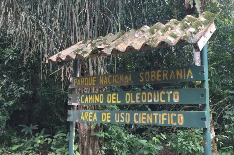
Soberanía National Park, Panama City
Gallery (1)
Map
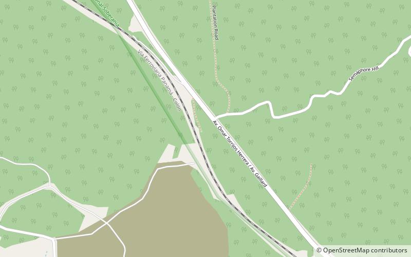
Map
Facts and practical information
Soberanía National Park (address: Area Canalera de Gamboa) is a place located in Panama City (Panamá province) and belongs to the category of neighbourhood, national park, park.
It is situated at an altitude of 289 feet, and its geographical coordinates are 9°4'28"N latitude and 79°39'35"W longitude.
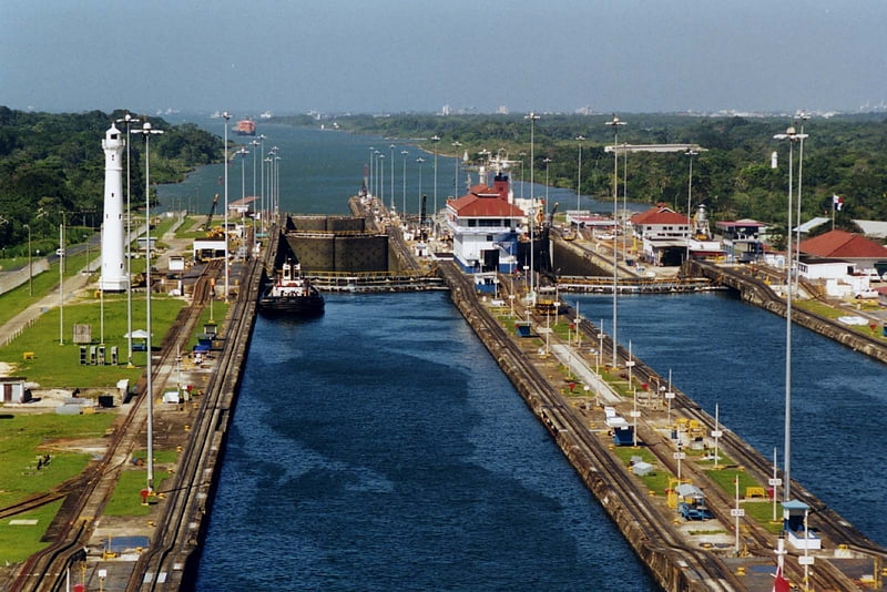
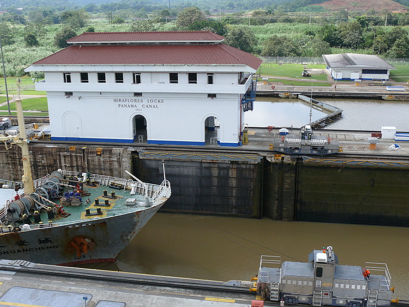
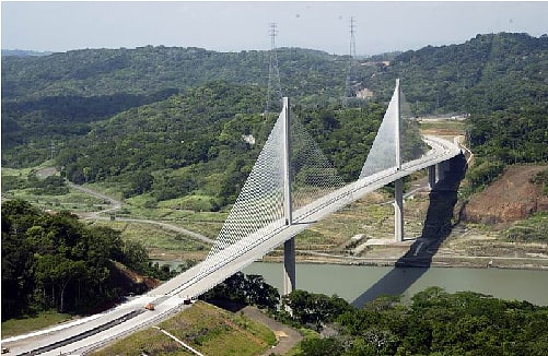
Among other places and attractions worth visiting in the area are: Culebra Cut, Soberanía National Park (canal, 28 min walk), Parque Municipal Summit (park, 29 min walk), Centennial Bridge (bridge, 88 min walk).
Elevation: 289 ft a.s.l.Coordinates: 9°4'28"N, 79°39'35"W
Day trips