Cayo Agua Island

Map
Facts and practical information
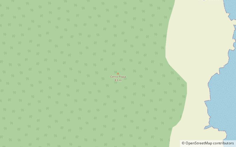
Cayo Agua is the eastern and southernmost island in the Bocas del Toro Archipelago, Panama, separating Chiriquí Lagoon in the south from the Caribbean Sea in the north. It has a surface area of 16 km2. ()
Local name: Cayo Agua Area: 6.18 mi²Archipelago: Bocas del Toro ArchipelagoCoordinates: 9°7'60"N, 82°2'16"W
Location
Bocas del Toro
ContactAdd
Social media
Add
Day trips
Cayo Agua Island – popular in the area (distance from the attraction)
Nearby attractions include: Popa Island.