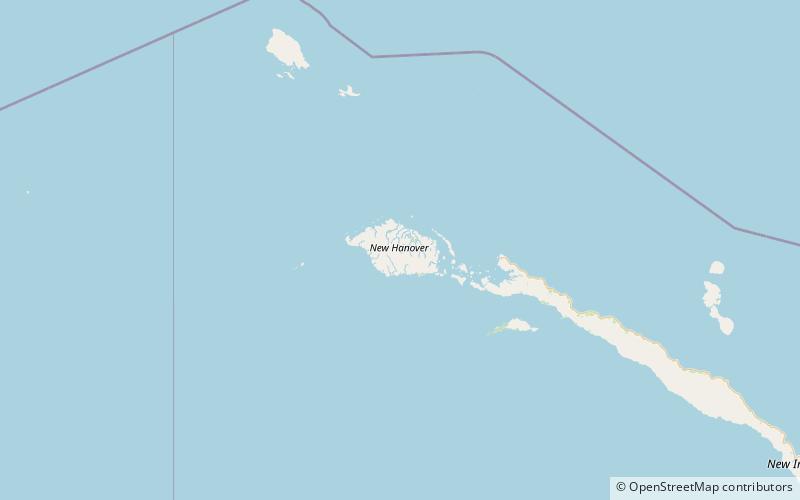
New Hanover Island
Map

Map

Facts and practical information
New Hanover Island, also called Lavongai, is a large volcanic island in the New Ireland Province of Papua New Guinea. This region is part of the Bismarck Archipelago and lies at 2.5°S 150.25°E / -2.5; 150.25. Measuring some 460 square miles, it had a population of 5,000 in 1960, which increased to approximately 17,160 by 2000. ()
Alternative names: Area: 473.75 mi²Maximum elevation: 2953 ftArchipelago: Bismarck ArchipelagoCoordinates: 2°31'47"S, 150°14'46"E
Location
New Ireland
ContactAdd
Social media
Add
