Mount Sarawaget

Map
Facts and practical information
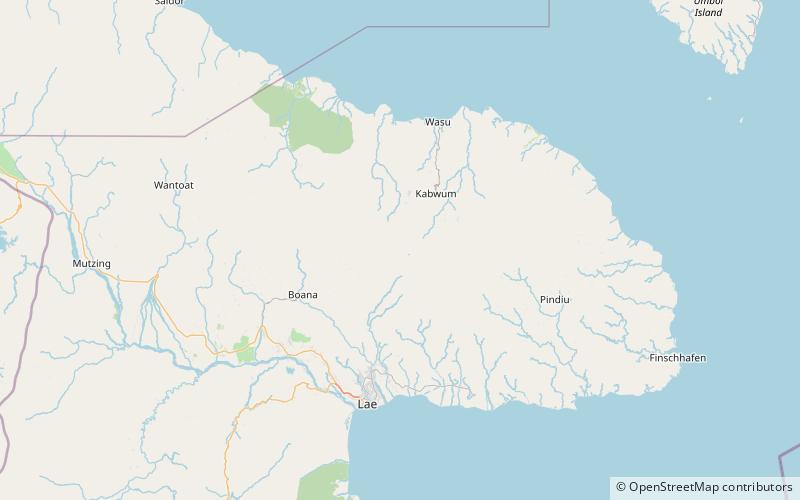
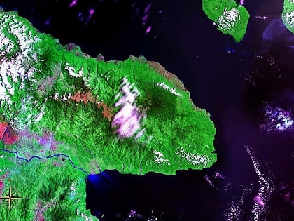
Mount Sarawaget is the highest mountain in Morobe Province, Papua New Guinea. It lies in the Saruwaged Range and at 4,121 m it is one of the highest mountains in the country. The name "Mount Bangeta" is sometimes used synonymously, but in other sources it is a distinct summit. ()
Elevation: 13520 ftProminence: 5581 ftCoordinates: 6°18'39"S, 147°5'24"E
Location
Morobe
ContactAdd
Social media
Add
Day trips
Mount Sarawaget – popular in the area (distance from the attraction)
Nearby attractions include: Saruwaged Range.
