Mount Taron, New Ireland Island

Map
Facts and practical information
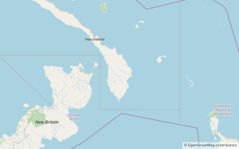
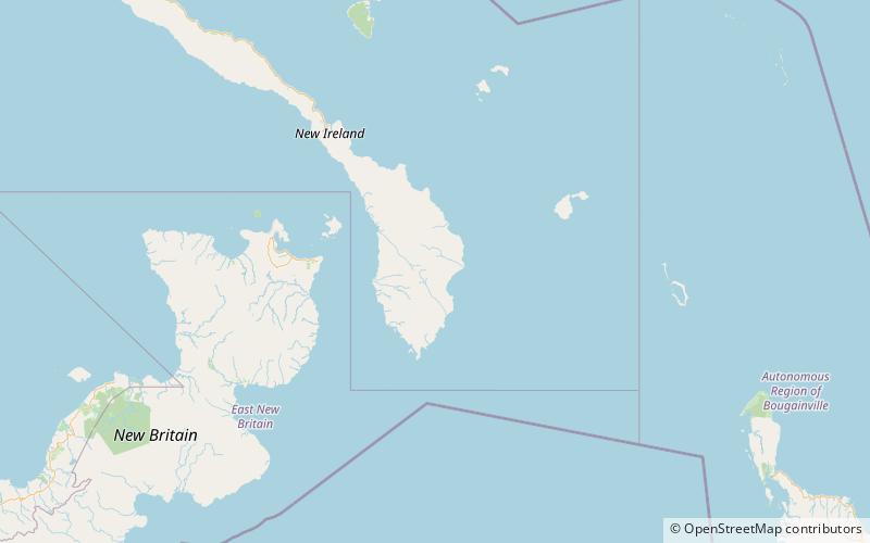
Mount Taron or Mount Agil is the highest point in the Hans Meyer Range on New Ireland in Papua New Guinea. It is the highest point of New Ireland and the entire Bismarck Archipelago. ()
Elevation: 7677 ftCoordinates: 4°21'0"S, 152°53'24"E
Address
New Ireland Island
ContactAdd
Social media
Add
Day trips
Mount Taron – popular in the area (distance from the attraction)
Nearby attractions include: Hans Meyer Range.
