Mount Giluwe
Map

Map

Facts and practical information
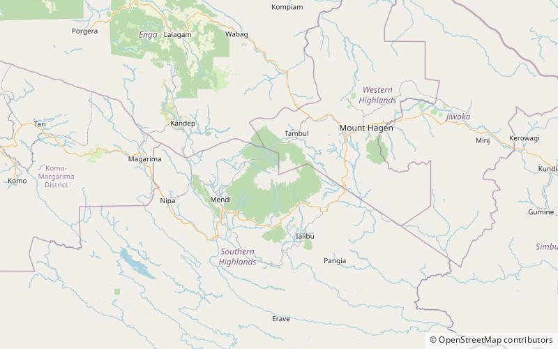
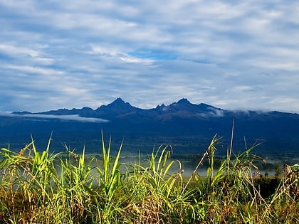
Mount Giluwe is the second highest mountain in Papua New Guinea at 4,367 metres, and the fifth highest peak on the island of New Guinea. It is located in the Southern Highlands province and is an old shield volcano with vast alpine grasslands. Ancient volcanic plugs form its two summits, with the central peak the highest and an east peak about 2 kilometres away at 4,300 m. Giluwe has the distinction of being the highest volcano on the Australian continent and Oceania, and is thus one of the Volcanic Seven Summits. ()
Alternative names: First ascent: 1934Elevation: 14327 ftProminence: 8225 ftCoordinates: 6°2'36"S, 143°53'13"E
Location
Western Highlands
ContactAdd
Social media
Add
