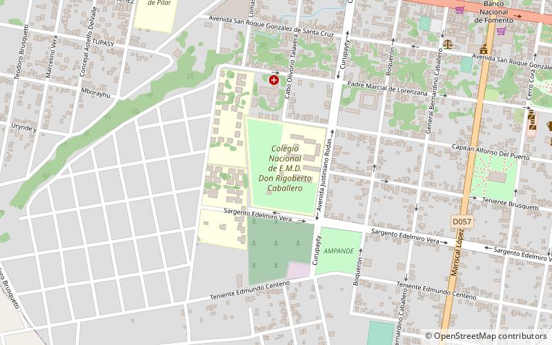
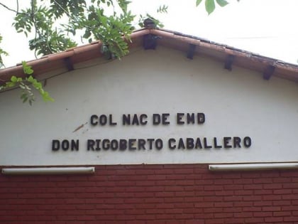
Predio del Colegio Nacional de E.M.D. Don Rigoberto Caballero, San Ignacio Guazú
Map

Map

Facts and practical information
Predio del Colegio Nacional de E.M.D. Don Rigoberto Caballero (address: Tte. Justiniano Rodas y Cap. Alfonso del Puerto) is a place located in San Ignacio Guazú (Misiones department) and belongs to the category of relax in park, park.
It is situated at an altitude of 515 feet, and its geographical coordinates are 26°53'29"S latitude and 57°1'57"W longitude.
Elevation: 515 ft a.s.l.Coordinates: 26°53'29"S, 57°1'57"W
Address
Tte. Justiniano Rodas y Cap. Alfonso del PuertoSan Ignacio Guazú
ContactAdd
Social media
Add
