Ypoá National Park
Map

Map

Facts and practical information
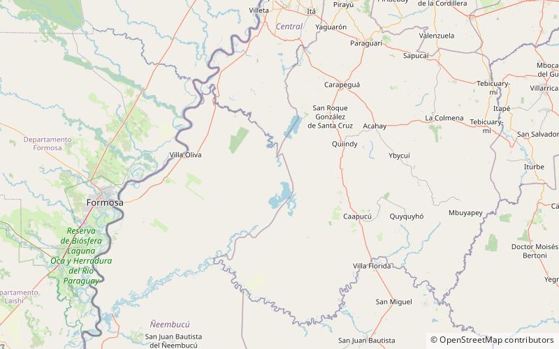
The Ypoá National Park, was created by decree of the Executive State Nro. 43,681 dated May 29 of 1992. It is located between the departments of Paraguarí, Central and Ñeembucú, and a portion of the districts of Caapucú, Villa Oliva, San Roque González de Santa Cruz and Quiíndy. It has a total area of 1,000 square kilometres and is 150 kilometers away from Asunción. ()
Local name: Parque nacional Ypoá Established: 1992 (34 years ago)Elevation: 194 ft a.s.l.Coordinates: 26°5'15"S, 57°29'19"W
Location
Ñeembucú
ContactAdd
Social media
Add
Best Ways to Experience the Park
Wildlife
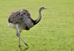
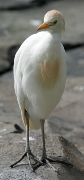
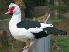
AnimalsSee what popular animal species you can meet in this location.
More
Show more


