Lambaré, Asunción
Facts and practical information
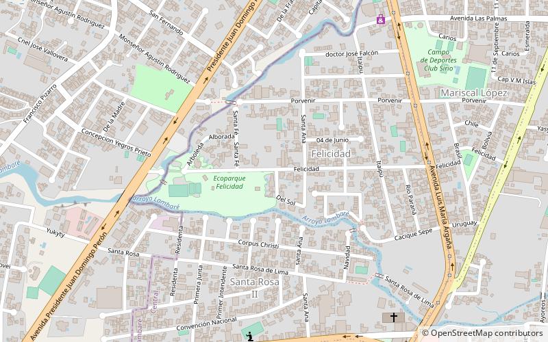
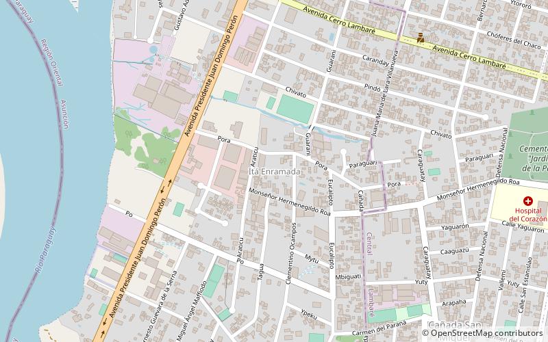
Nestled in the embrace of Asunción, the capital city of Paraguay, lies the vibrant district of Lambaré. Known for its harmonious blend of urban living and natural beauty, this city has become an integral part of the country's cultural and economic tapestry.
Characterized by its bustling streets and verdant spaces, Lambaré is a testament to Paraguay's growth and modernization. It stands as a city within a city, offering residents and visitors alike a unique blend of contemporary amenities and scenic landscapes. The district is flanked by the Paraguay River, providing a serene waterfront that's perfect for leisurely strolls or tranquil moments of reflection.
Lambaré is not just a residential haven; it's also a hub for commerce and recreation. The city boasts a range of shopping centers, local eateries, and entertainment venues that cater to a variety of tastes and preferences. Its markets are filled with the vibrant colors and textures of Paraguayan crafts, making it a great place to find authentic souvenirs and gifts.
One of the city's most notable landmarks is the Cerro Lambaré, a hill that offers panoramic views of Asunción and its surroundings. The hill is not only a popular destination for sightseers but also holds cultural significance, as it is a place where local legends and history intertwine.
Lambaré is also home to a number of sports facilities, including the multi-purpose Estadio Feliciano Cáceres, which serves as a venue for football matches and other events, further highlighting the city's love for sports and community gatherings.
In terms of accessibility, Lambaré is well-connected to the rest of Asunción through various modes of transportation, making it easy for visitors to explore the district's charms. Whether one is in search of a quiet corner of nature, a taste of Paraguayan hospitality, or a glimpse into the country's evolving urban landscape, Lambaré offers a slice of Paraguayan life that is both authentic and inviting.
Asunción
- Bus
 Bus
Bus
- Calculate routeMagno Sociedad Anonima - Línea 12 18 min walk
- Calculate routeConquistador S.R.L. - Línea 13 19 min walk


Frequently Asked Questions (FAQ)
How to get to Lambaré by public transport?
Bus
- Magno Sociedad Anonima - Línea 12 (18 min walk)
- Conquistador S.R.L. - Línea 13 (19 min walk)