Ticlla Mountain

Gallery (1)
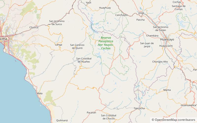
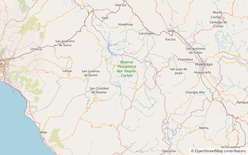
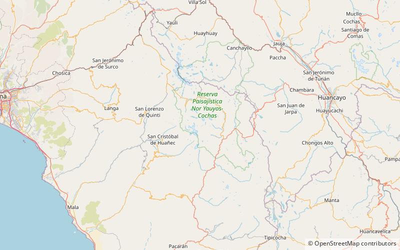
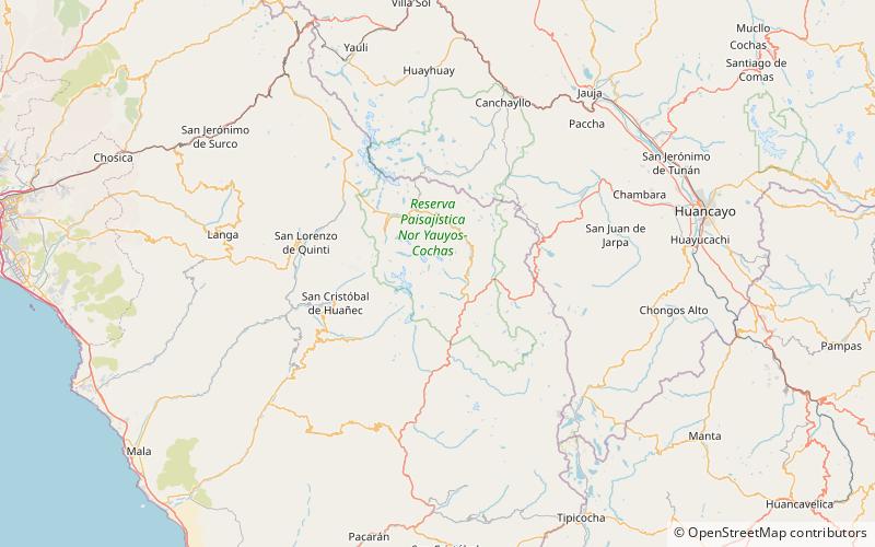
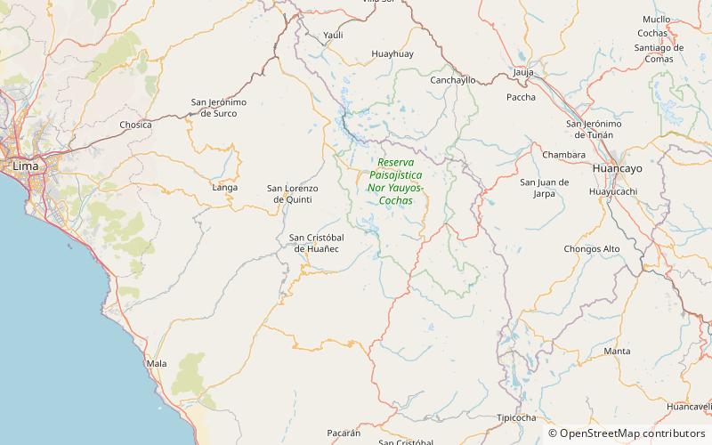
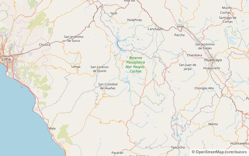
Map

Map
Facts and practical information
Ticlla or Qutuni, also called Tiklla or Tiqlla, is a 5,897-metre-high mountain in the Cordillera Central in the Andes of Peru. Strictly speaking the popular name Ticlla refers to a group of peaks of the Qutuni-Ticlla cirque. The highest mountain of the massif is named Qutuni. It lies in a sub-range of the Cordillera Central named Pichqa Waqra. ()
Location
Lima
ContactAdd
Social media
Add
Day trips