Huayllahuito

Map
Facts and practical information
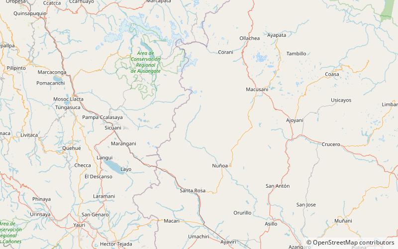
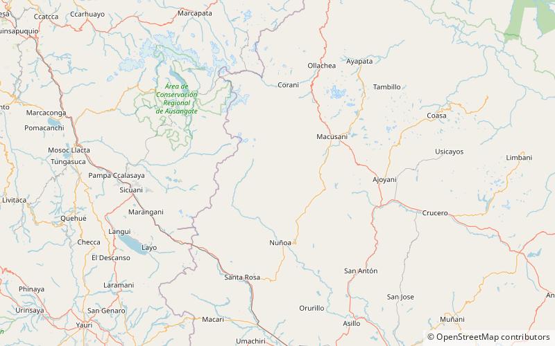
Huayllahuito is a mountain in the Vilcanota mountain range in the Andes of Peru, about 4,800 metres high. It lies in the Puno Region, Melgar Province, Nuñoa District, southeast of Pucaparina. ()
Elevation: 15748 ftCoordinates: 14°16'35"S, 70°43'1"W
Location
Puno
ContactAdd
Social media
Add
Day trips
Huayllahuito – popular in the area (distance from the attraction)
Nearby attractions include: Pucaparina, Yuraq Q'asa, Jatunyurac Caca.


