Qillqata
Map

Map

Facts and practical information
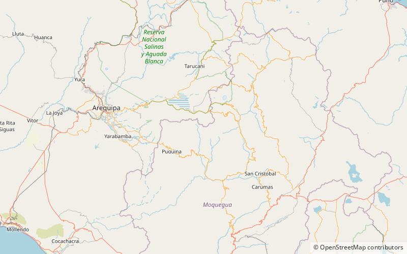
Qillqata is a mountain in the Andes of Peru, about 5,200 metres high. It is located southeast of Lake Salinas in the Arequipa Region, Arequipa Province, Tarucani District, and in the Moquegua Region, General Sánchez Cerro Province, Coalaque District. Some of the highest mountains near Qillqata are Wilani in the northeast, Q'uwa Laki in the southeast and Pachakutiq. ()
Elevation: 17060 ftCoordinates: 16°29'55"S, 71°0'46"W
Location
Arequipa
ContactAdd
Social media
Add
Day trips
Qillqata – popular in the area (distance from the attraction)
Nearby attractions include: Pachakutiq, Puka Saya, Q'uwa Laki, Wilani.


