Jirish Mach'ay

Gallery (1)
Map
Map
Facts and practical information
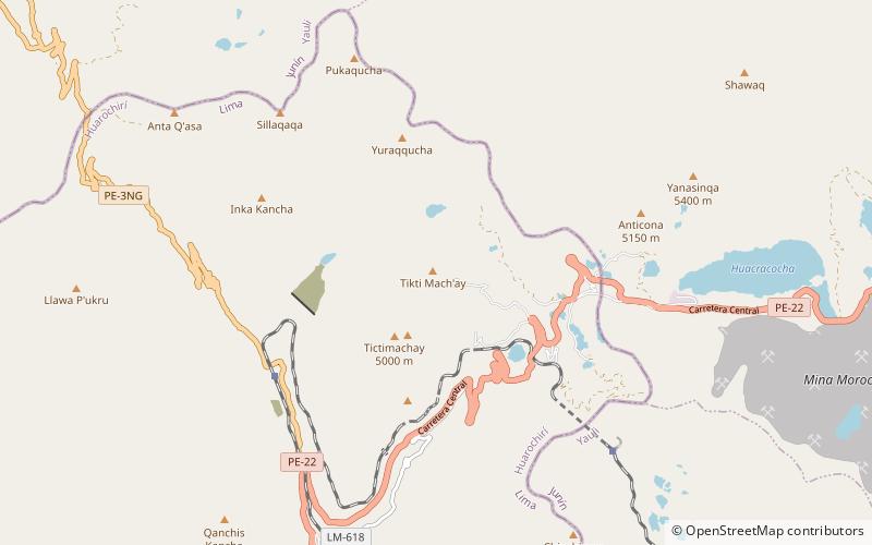
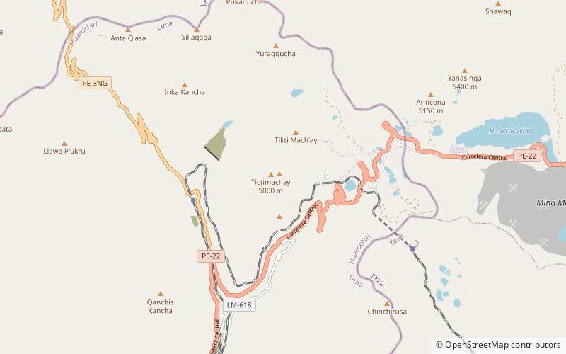
Jirish Mach'ay is a mountain in the Andes of Peru, about 5,000 metres high. It is situated in the Lima Region, Huarochiri Province, Chicla District. Jirish Mach'ay lies near the Antikuna mountain pass, south-west of the mountain Tiktimach'ay and west of the lake Tiktiqucha. ()
Elevation: 16404 ftCoordinates: 11°36'17"S, 76°13'1"W
Location
Lima
ContactAdd
Social media
Add
Day trips