Huaytapallana

Gallery (1)
Map
Map
Facts and practical information
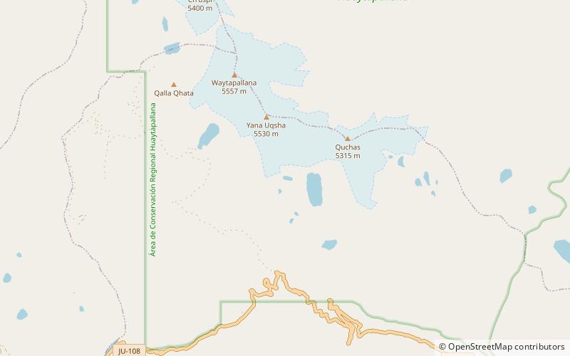
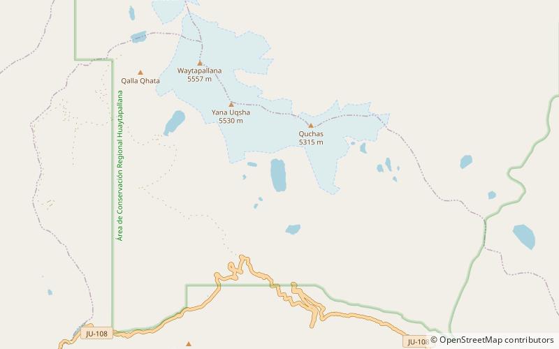
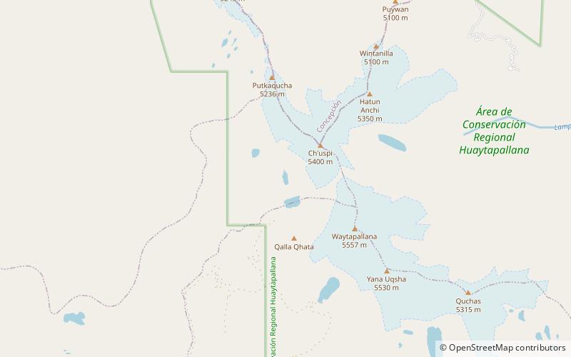
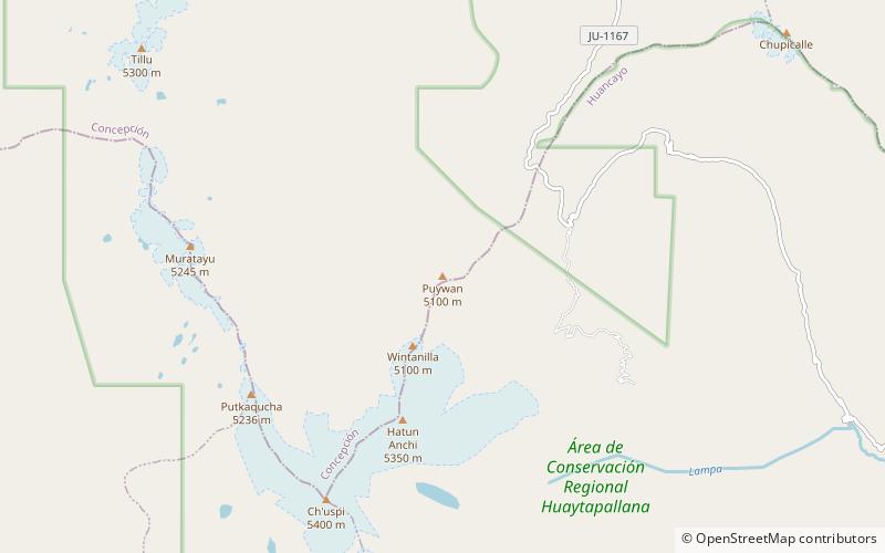
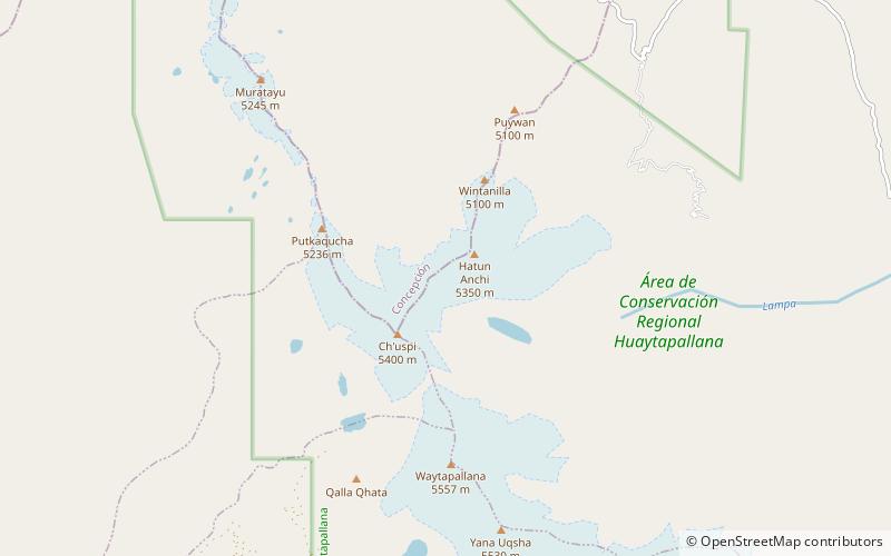
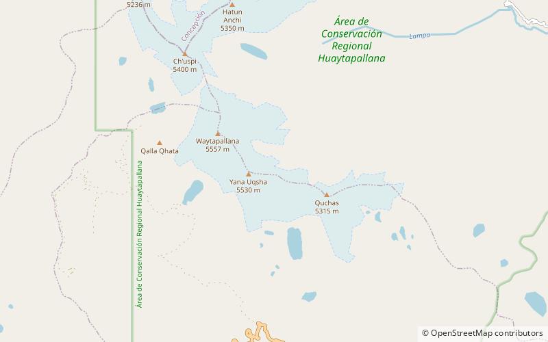
Huaytapallana or Lasuntay is the highest peak in the Huaytapallana mountain range in the Andes of Peru. Its summit reaches about 5,557 m above sea level. The mountain is situated in the Junín Region, Huancayo Province, in the districts of Huancayo and Pariahuanca. ()
Location
Junín
ContactAdd
Social media
Add
Day trips