Kuntur Wayi

Gallery (1)
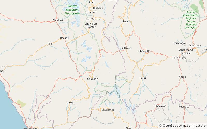
Map
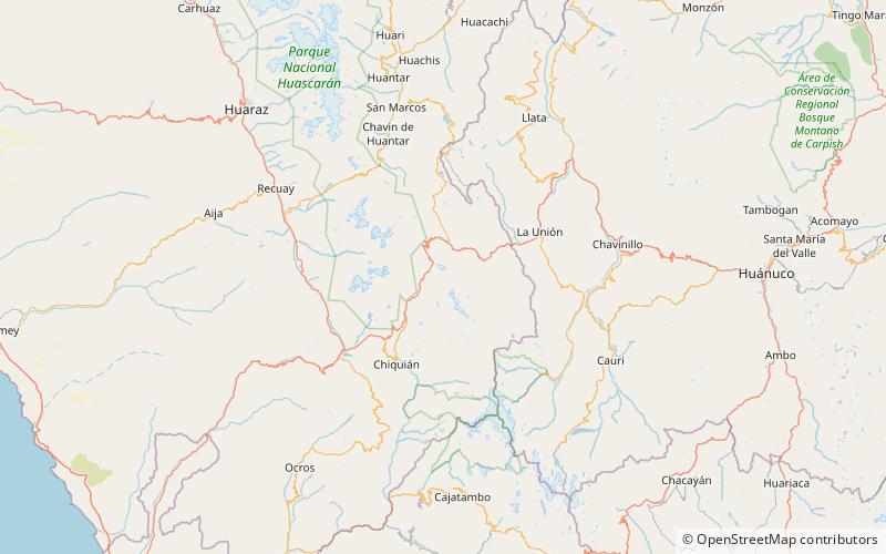
Map
Facts and practical information
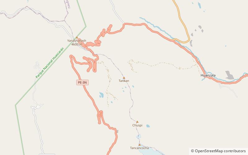
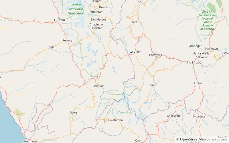
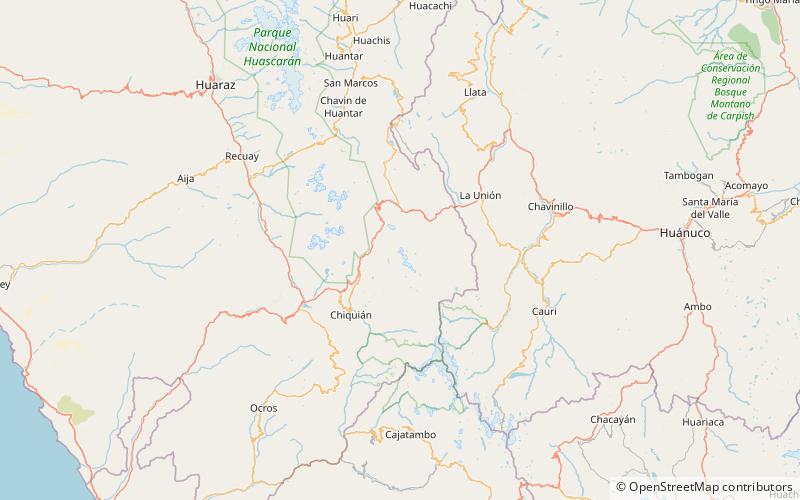
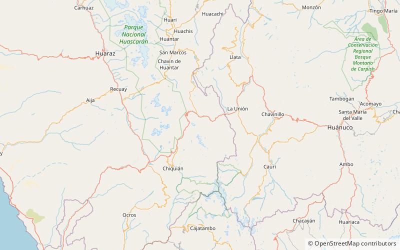
Kuntur Wayi or Kuntur Wayin is a 5,171-metre-high mountain in the Wallanka mountain range in the Andes of Peru. It is situated in the Ancash Region, Bolognesi Province, on the border of the districts of Aquia and Huallanca. Kuntur Wayi lies east of the Minapata valley, southwest of Kunkush, south of Wallanka and southeast of Minapata. ()
Location
Ancash
ContactAdd
Social media
Add
Day trips