Hatun P'ukru

Gallery (1)
Map
Map
Facts and practical information
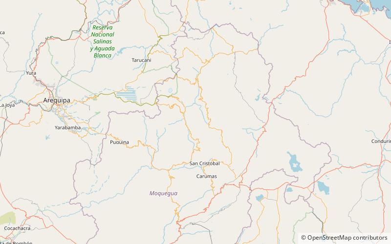
Hatun P'ukru is a mountain in the Andes of southern Peru, about 5,153-metre high. It is situated in the Moquegua Region, General Sánchez Cerro Province, on the border of the districts of Chojata and Matalaque. ()
Elevation: 16906 ftCoordinates: 16°31'4"S, 70°45'29"W
Location
Moquegua
ContactAdd
Social media
Add