Huacaypaca

Map
Facts and practical information
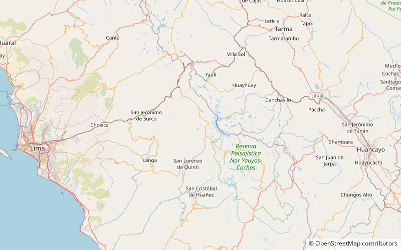
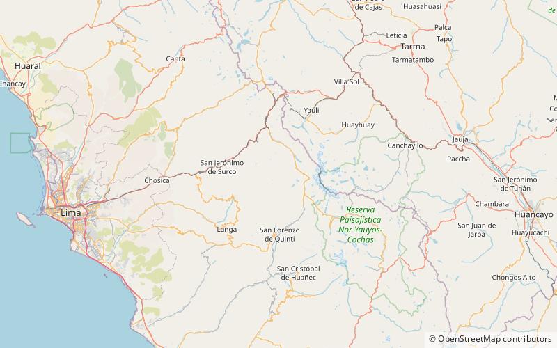
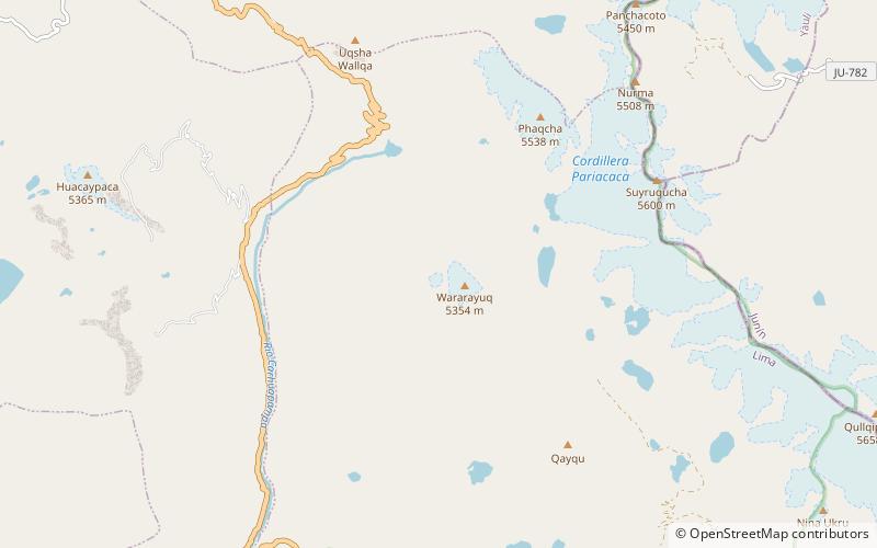
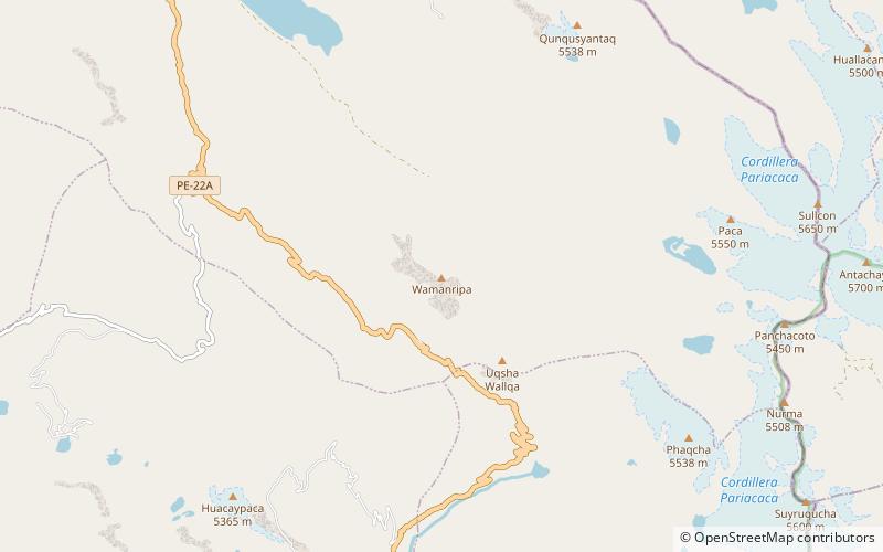
Huacaypaca is a mountain in the Cordillera Central in the Andes of Peru, 5,365 metres high. It lies in the Lima Region, Huarochiri Province, in the north of the Tantaranche District. Huacaypaca is situated northeast of a lake named Chumpicocha. Huacaypaca lies south-west of the mountains Wisk'achani and Huapalco, north-west of Chumpicocha, and southeast of the mountain Yana Kunka. It is southwest of Punta Sur and southeast of the Cerro Coqueña massif. Huacaypaca is also the name of the neighboring lake east of the mountain. ()
Elevation: 17602 ftCoordinates: 11°56'17"S, 76°8'33"W
Location
Lima
ContactAdd
Social media
Add
Day trips
Huacaypaca – popular in the area (distance from the attraction)
Nearby attractions include: Suyruqucha, Wararayuq, Wamanripa.


