Asana
Map

Map

Facts and practical information
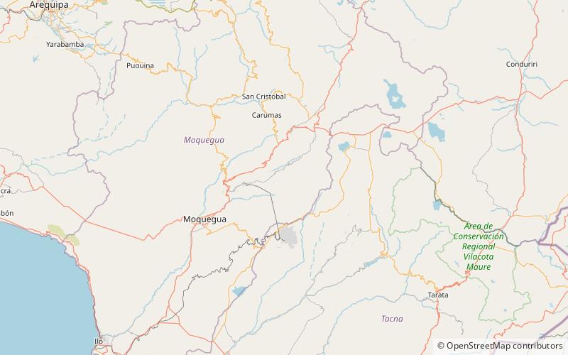
Asana is an archaeological site by the Asana River, a tributary of the Osmore River, in the south-central Andes of southern Peru. The site is situated at an elevation of 3,430 metres, with land use documented from 3,000–4,800 metres. Asana was occupied over the course of 8,000 years; though the inhabitants were initially mobile foragers, long term habitation was marked at a later phase by residential architecture. ()
Location
Moquegua
ContactAdd
Social media
Add
