Ututu Hirka

Map
Facts and practical information
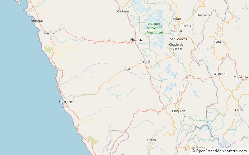
Ututu Hirka is a mountain in the Cordillera Negra in the Andes of Peru which reaches a height of approximately 4,600 m. It lies in the Ancash Region, Huarmey Province, on the border of the districts of Huayan and Malvas. Ututu Hirka lies southeast of Pillaka. ()
Elevation: 15092 ftCoordinates: 9°52'29"S, 77°37'45"W
Location
Ancash
ContactAdd
Social media
Add
Day trips
Ututu Hirka – popular in the area (distance from the attraction)
Nearby attractions include: Kunkush Kancha, Pillaka.

