Wariri
Map

Map

Facts and practical information
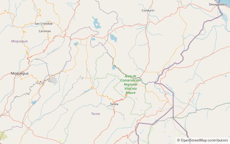
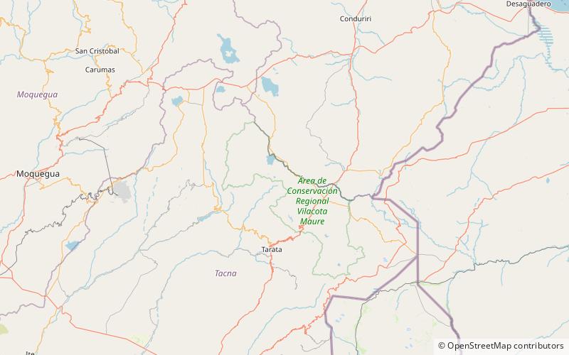
Wariri is a mountain in the Andes of southern Peru, about 4,800 metres high. It is located in the Tacna Region, Tarata Province, Susapaya District. Wariri lies between the lake Wilaquta in the north and Ñiq'i Quta in the south. ()
Elevation: 15748 ftCoordinates: 17°10'55"S, 70°1'25"W
Location
Tacna
ContactAdd
Social media
Add
Day trips
Wariri – popular in the area (distance from the attraction)
Nearby attractions include: Lake Vilacota, Lake Paracota, Churi Wiqu, Churi Qullu.


