Wila Chunkara

Map
Facts and practical information
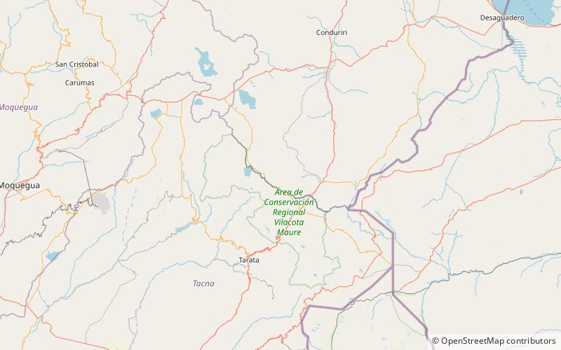
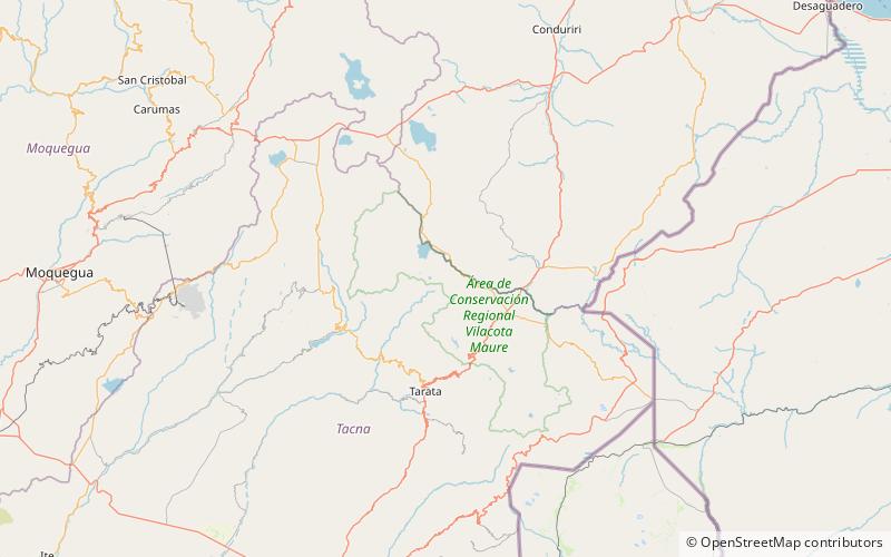
Wila Chunkara is a mountain in the Andes of southern Peru, about 4,800 metres high. It is situated in the Puno Region, El Collao Province, on the border of the districts Capazo and Santa Rosa. Wila Chunkara lies northwest of the mountain Jiwaña and the plain named Jiwaña Pampa. The Jiwaña River originates near the mountain. It flows through the plain before it reaches the Mawri River. ()
Elevation: 15748 ftCoordinates: 17°9'22"S, 69°54'27"W
Location
Puno
ContactAdd
Social media
Add
Day trips
Wila Chunkara – popular in the area (distance from the attraction)
Nearby attractions include: Churi Qullu, Jiwaña.

