Huaguruncho
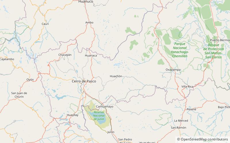
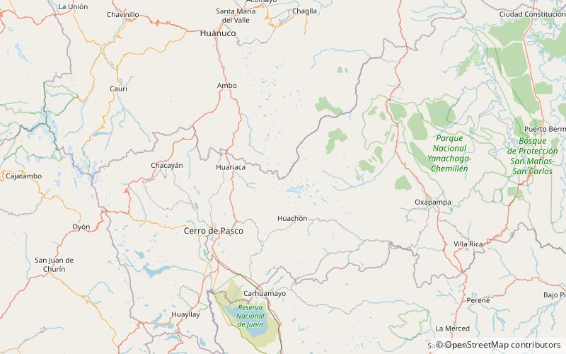
Map
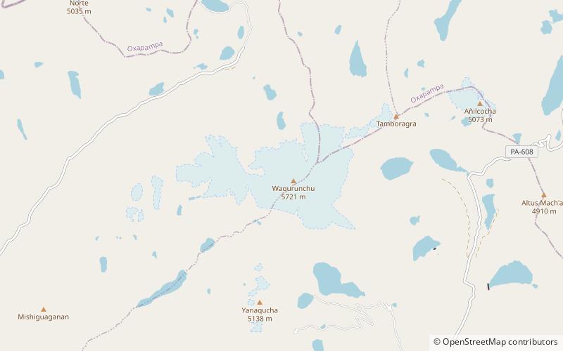
Map

Facts and practical information
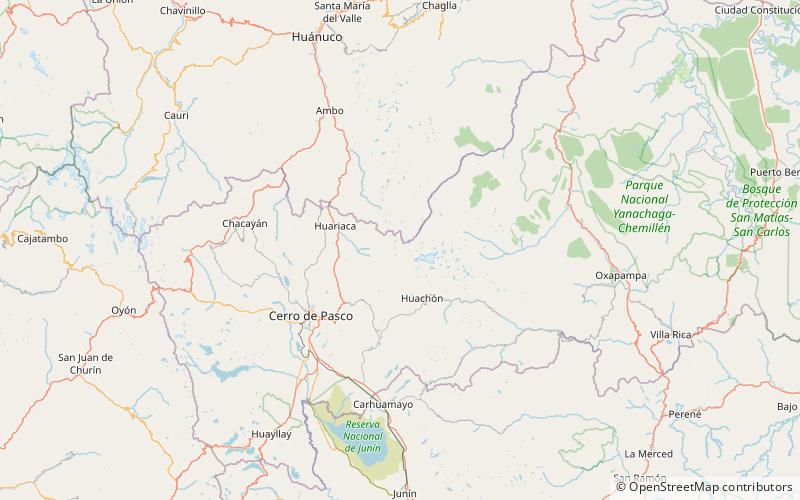
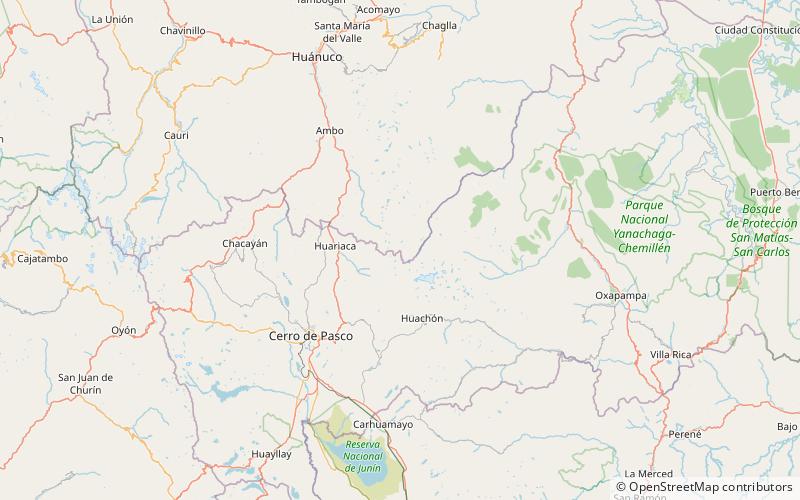
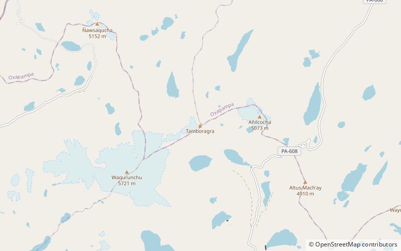
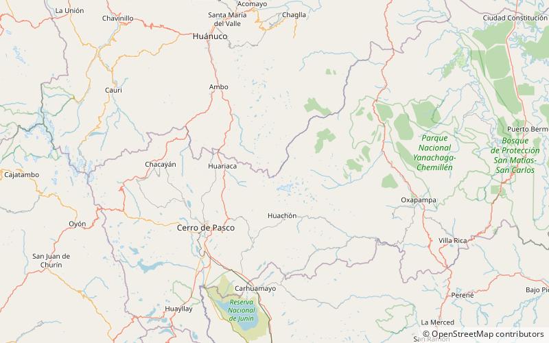
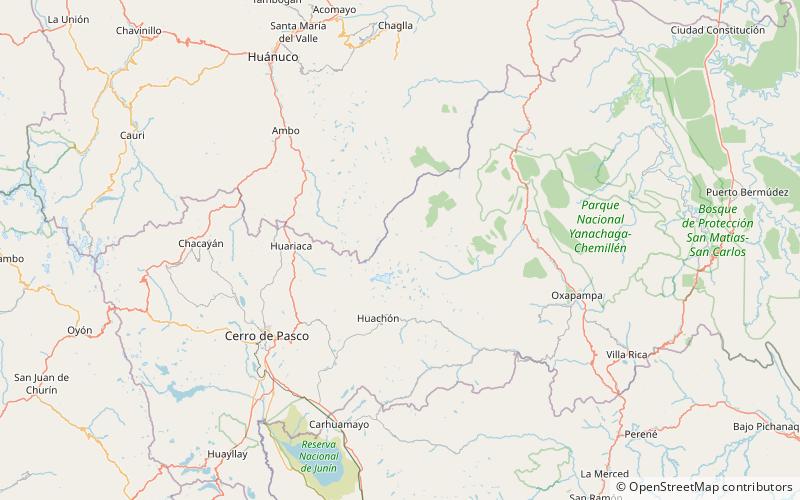
Huaguruncho, Tarata or Huagaruncho is a 5,723-metre-high mountain in the Huaguruncho mountain range in the Andes of Peru. Its highest peak, officially named Tarata, is located in the Pasco Region, Pasco Province, on the border of the districts of Huachón and Ticlacayan. A minor peak, named Huaguruncho Chico by the IGN map, lies west of it in the Ticlacayan District. ()
Day trips
Huaguruncho – popular in the area (distance from the attraction)
Nearby attractions include: Waqurunchu, Qiwllaqucha, Ñausacocha, Yanacocha.


