Pirhuane Mountain
Map

Map

Facts and practical information
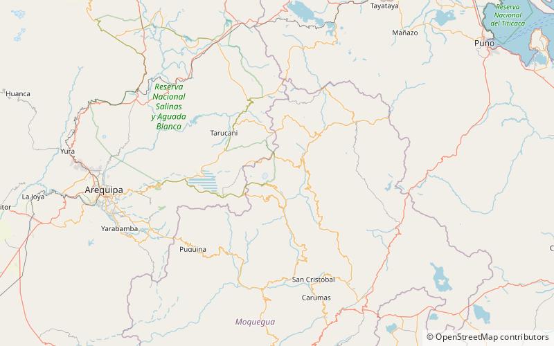
Pirhuane is a 4,994-metre-high mountain in the Moquegua Region in the Andes of Peru. It is situated in the General Sánchez Cerro Province, Ubinas District. Pirwani is situated northeast of the active volcano Ubinas. Like the mountains south of Pirhuane, Pacoorcco and Huitoni, Pirhuane lies on the eastern border of the buffer zone of the Salinas and Aguada Blanca National Reservation. ()
Elevation: 16385 ftCoordinates: 16°15'35"S, 70°49'25"W
Location
Moquegua
ContactAdd
Social media
Add
Day trips
Pirhuane Mountain – popular in the area (distance from the attraction)
Nearby attractions include: Parwayuni, Pacoorcco, Qhuyu Parwayuni, Pukara.


