Yerupajá
Map

Gallery

Facts and practical information
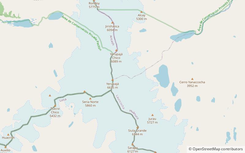
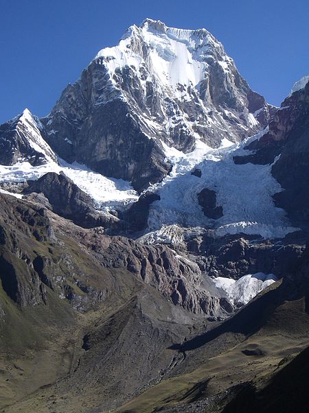
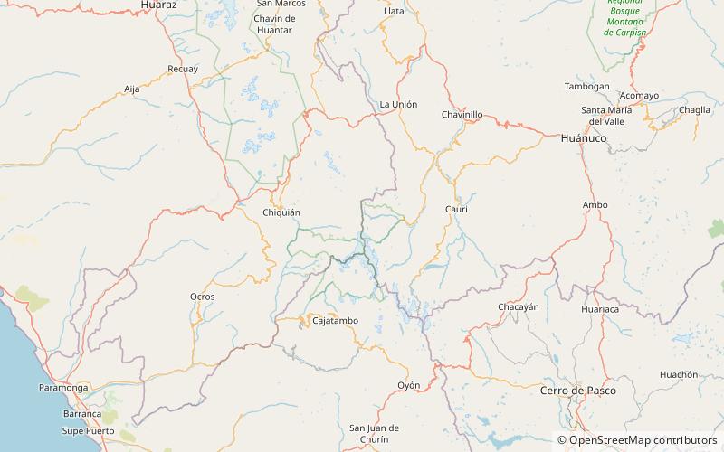
Yerupajá is a mountain of the Huayhuash mountain range in west central Peru, part of the Andes. It's located at Áncash, Bolognesi Province, Lauricocha Province. At 6,635 metres it is the second-highest in Peru and the highest in the Huayhuash mountain range. The summit is the highest point in the Amazon River watershed, and was first reached in 1950 by Jim Maxwell and Dave Harrah, and its northern peak in 1968 by the Wellingtonian Roger Bates and Graeme Dingle. Many visitors consider Yerupajá to be the most spectacular peak in South America. ()
Alternative names: First ascent: 1950Elevation: 21768 ftProminence: 6644 ftCoordinates: 10°16'0"S, 76°54'0"W
Location
Huánuco
ContactAdd
Social media
Add
Day trips
Yerupajá – popular in the area (distance from the attraction)
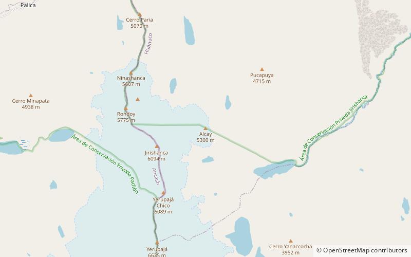
Nearby attractions include: Lake Carhuacocha, Cordillera Huayhuash, Rondoy, Sarapo.


