Javier Prado Avenue, Lima
Map
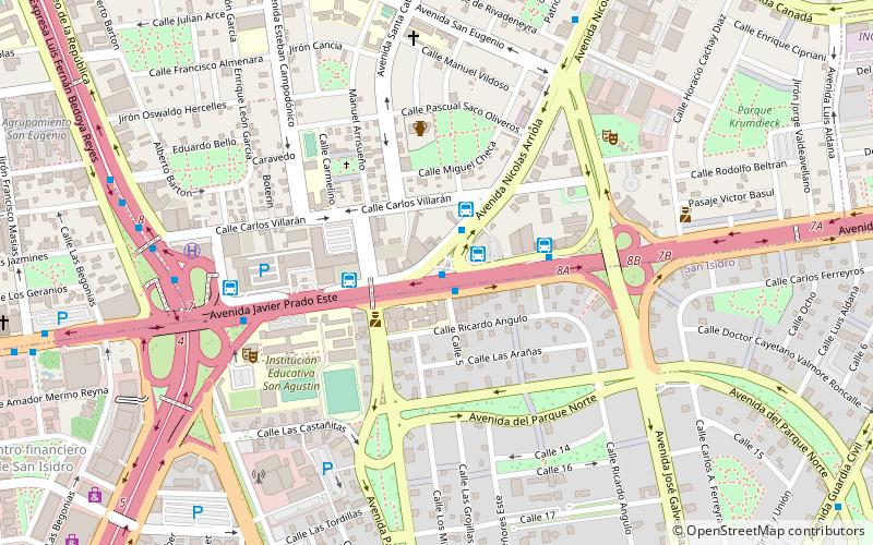
Map

Facts and practical information
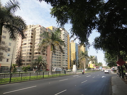
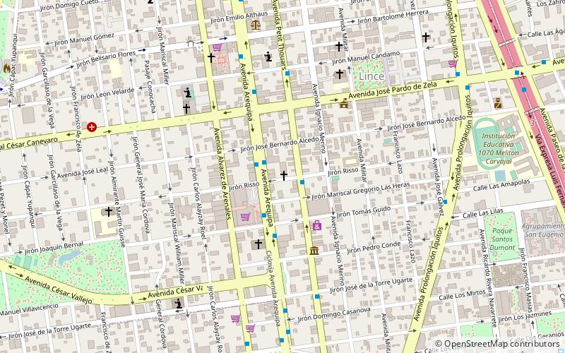
The Javier Prado Avenue is one of the main avenues of Lima, capital of Peru. By its length it is the second largest avenue of the city, after the Universitaria Avenue. It goes from west to east, going through the districts of Magdalena del Mar, San Isidro, Lince, La Victoria, San Borja, Santiago de Surco, Ate and La Molina along 135 blocks. ()
Address
Lima Central (La Victoria)Lima
ContactAdd
Social media
Add
Day trips
Javier Prado Avenue – popular in the area (distance from the attraction)
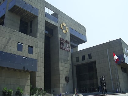
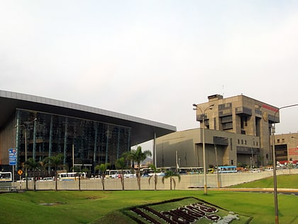
Nearby attractions include: Museum of the Nation, La Rambla, Gran Teatro Nacional, Comunidad Cristiana Agua Viva.
Frequently Asked Questions (FAQ)
How to get to Javier Prado Avenue by public transport?
The nearest stations to Javier Prado Avenue:
Bus
Metro
Bus
- Nicolás Arriola • Lines: 201 (1 min walk)
- Movil Tours (2 min walk)
Metro
- Estación La Cultura • Lines: L1 (25 min walk)
