Magallanes Interchange, Makati
Map
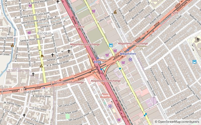
Map

Facts and practical information
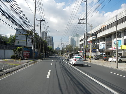
The Magallanes Interchange is a four-level partial turbine interchange in Makati, Metro Manila, the Philippines, serving as the junction between the South Luzon Expressway, Osmeña Highway, and Epifanio de los Santos Avenue. It is also an interchange between the two train lines of Metro Manila, the MRT-3, which is over EDSA, and the PNR Metro Commuter, beside SLEX. It is currently one of the busiest intersections in Metro Manila. ()
Opened: 1975 (51 years ago)Coordinates: 14°32'27"N, 121°1'1"E
Address
Makati District 1 (Bangkal)Makati
ContactAdd
Social media
Add
Day trips
Magallanes Interchange – popular in the area (distance from the attraction)
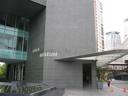
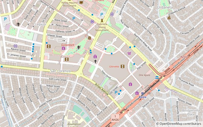
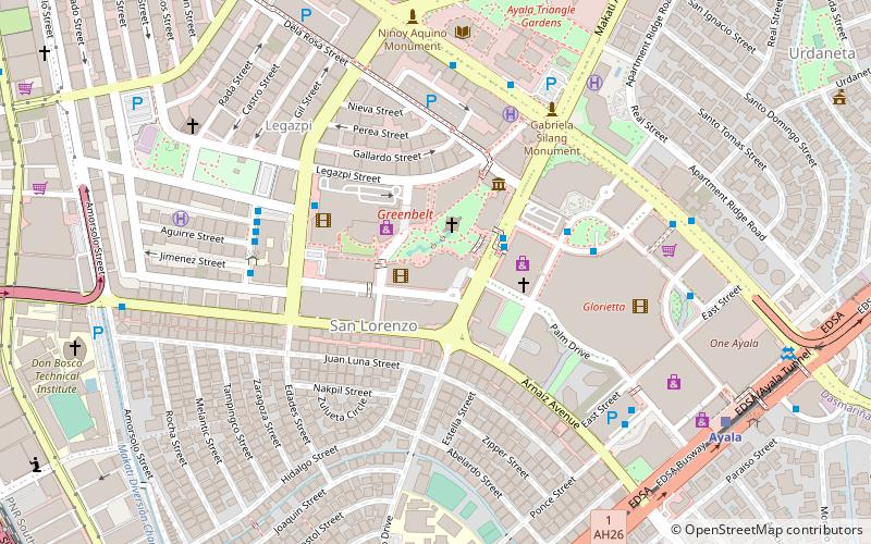
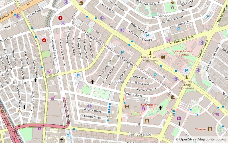
Nearby attractions include: Ayala Museum, Ayala Avenue, Glorietta, Ayala Triangle Gardens.
Frequently Asked Questions (FAQ)
Which popular attractions are close to Magallanes Interchange?
Nearby attractions include San Lorenzo Arcade, Makati (19 min walk), The Beacon – Amorsolo Tower, Makati (20 min walk), The Beacon – Arnaiz Tower, Makati (20 min walk), The Perfect Pint, Makati (20 min walk).
How to get to Magallanes Interchange by public transport?
The nearest stations to Magallanes Interchange:
Train
Bus
Light rail
Train
- Edsa (1 min walk)
- Pasay Road (18 min walk)
Bus
- Magallanes • Lines: 14, 15, 15C, 15M, 16, 34, 35, T331 (2 min walk)
- San Lorenzo Place • Lines: Citylink Bus Route, T331 (4 min walk)
Light rail
- Magallanes • Lines: 3 (5 min walk)
- Ayala • Lines: 3 (24 min walk)

